Westwoods Loop 2 – Split Rock
General Description: Are you looking for a moderately easy hike with a water vista? The
Westwoods Trails Committee developed Loop 2 with that in mind. The trailhead is
located at the Sam Hill Road entrance and incorporates sections of three popular trails.
Beginning on the white circle trail, the orange circle then brings you to the Lost Lake
Vista. The hike returns on the white circle and white square trails.
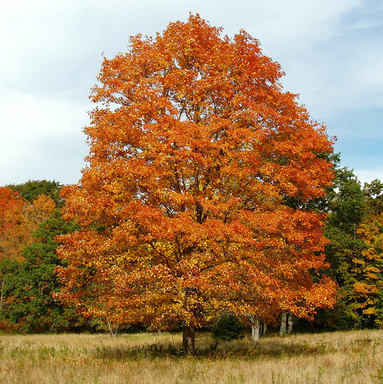
Sights: Lost Lake Vistas, evidence of quarry operations and a forest fire, and the tree
growing between a split rock – our Westwoods emblem! Also, a picnic spot on rock
outcroppings, with sweeping views of Lost Lake.
Difficulty: Easy (some small hills, varying surfaces, suitable for most hikers).
Terrain: Relatively flat and suitable for trail running.
Duration: Allow 1-1/2 hours.
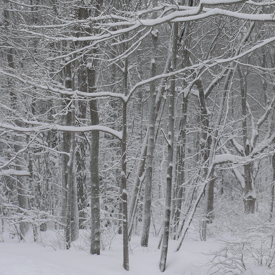
Weather considerations: A few areas may be muddy if there has been recent rain.
Statistics: 2.2 miles, with and elevation gain of around 260 feet.
Hiking Narrative:
The Sam Hill Road entrance is at the corner of Sam Hill Road and Route 146. A parking
area is available and there is a kiosk at the trailhead. To begin:
Hike along the white circle trail, which parallels the railroad tracks for a short distance.
You’ll leave Land Trust property as you swing away from the railroad and enter
Cocaponsett State Forest. You’ll see their boundary sign and distinctive yellow marking
paint on a tree to the right of the trail. After about 1/3 of a mile the white circle trail takes
a sharp turn to the left. Slightly to the right is the orange circle trail.
This is the southern end of the orange circle trail. Bear right to begin: you’ll continue
north on the orange circle for 8/10ths of a mile.
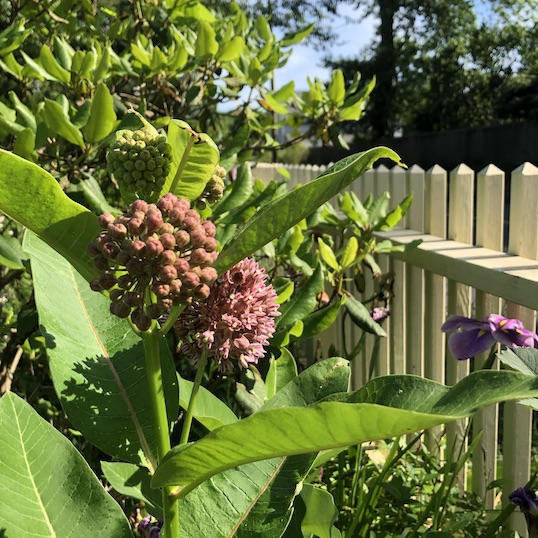
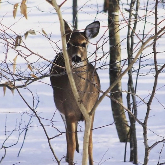
- This lovely section of trail wends its way through the exposed rocky ledges, glacial boulders, and interspersed wetlands, that are characteristic of Westwoods. Red and Chestnut oak, Hickory, Ironwood, Tulip and White Pine are all common tree species you’ll easily find. Not so long ago, Hemlock and Ash were well represented in these forests. The Hemlock woolley adelgid, and Emerald ash borer, both Invasive insects, are responsible for their notable decline.
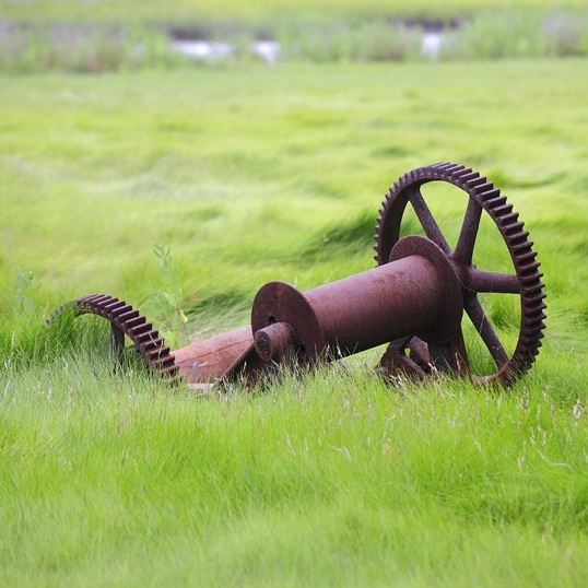
- In the 19th and early 20 th centuries, beyond the quarried areas, Westwoods was
used as a woodlot for both Guilford residents and regional manufacturers of
bricks. Sections of the orange circle follow old logging trails used for this access.
Keep an eye out for the stonewalls following your path and crisscrossing the
forest floor. - At the top of a rise and toward the end of our journey on the orange circle, you’ll leave the State Forest and again enter property owned by the Land Trust. The Land Trust marks their boundaries with white and green signs, displayed as diamonds.
Just after crossing over a small bridge, the trail comes to a “T” where the orange circle
continues north (to the right) and the white cross trail continues to the left (the cross trails
are denoted by a rectangle blaze with the top color indicating the trail you are going to
and the bottom color indicating the trail you are on – in this instance, white and orange).
Take the left onto the cross trail and continue 20 yards to the intersection with white
circle.
Take a left onto the white circle as you approach the Lost Lake Vista. Keep your eyes
open for the pitch pines in this area. The current Management Plan for Westwoods is
safeguarding this threatened species.
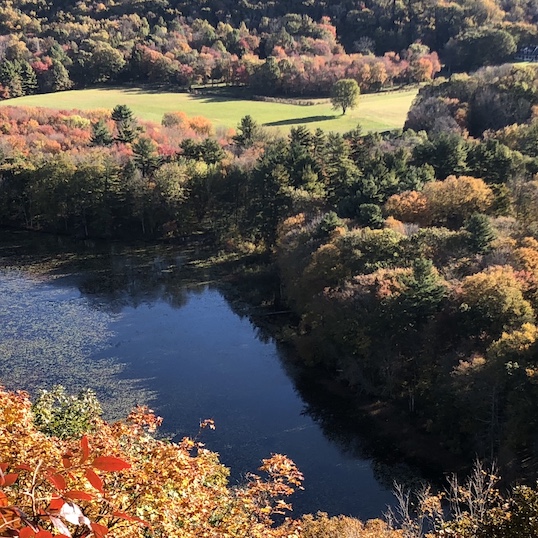
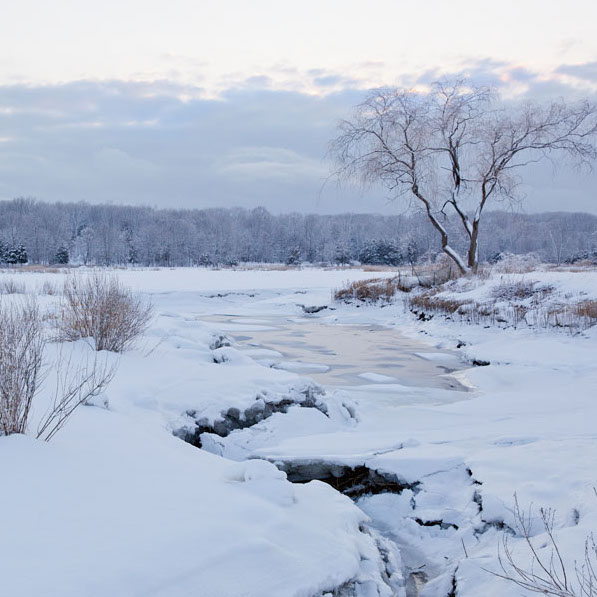
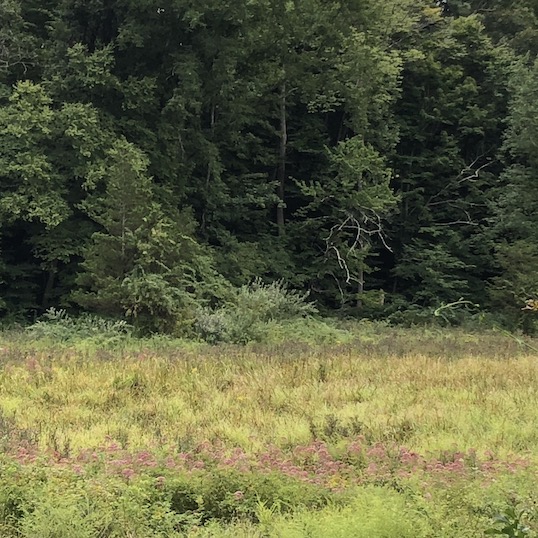
- The lake is viewed from atop a large rock outcropping. The area is suitable for a picnic gathering and provides opportunities for solitary contemplation. This vista is POI 1 on the map.
- While viewing the lake, notice the two sets of piers that traverse the water surface
just below the cliff. On this pier a railroad once ran; servicing quarry operations
at the upper end of Lost Lake.
When you are ready to leave the Lost Lake vista, find the blazing for the white circle trail
and begin following it, heading south. You’ll immediately step back into State Forest
property.
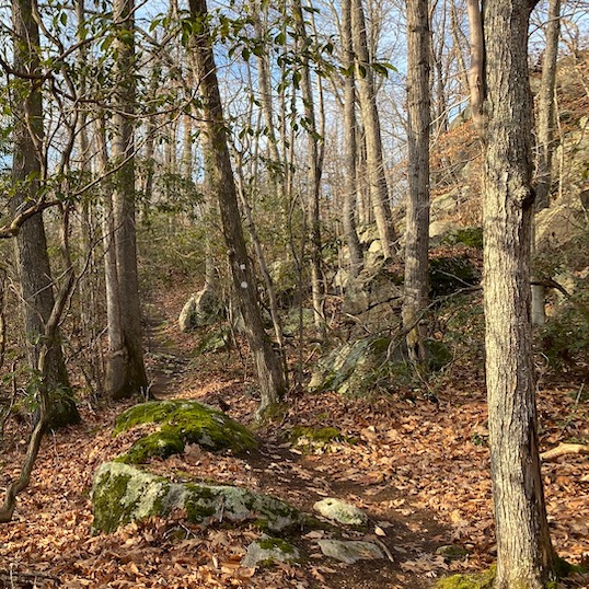
- POI 2: A forest fire swept through this area in May 2008, burning about six acres of forest. At the time of the fire, this area was largely cleared, with only standing dead and charred trunks remaining. Note that the devastation is now very dense growth of small birch and aspen. These are some of the common pioneer species that initially colonize burned areas.
- POI 3: At the crest of the hill, just off the trail and to the left, you’ll see the emblem
of Westwoods, a beautiful red cedar growing between a 7-foot-high split rock (a
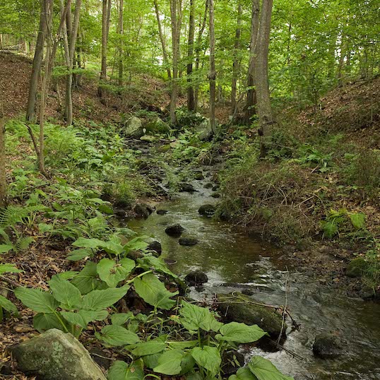
glacial boulder). - Follow the trail down hill and crossing a small stream, you’ll notice a natural stone
wall about 4’ high, on your left. This turns into a man-made stonewall. Shortly
after this wall, you’ll find the intersection of the white circle and square trails.
Follow the white square trail as it branches off to the left. Continue following this trail for
about 2/10 of a mile until it intersects with the white circle trail.
Take a left turn and the trail will lead you back to Land Trust property, then past the
railroad to the Sam Hill parking lot.