Jared Eliot Preserve Loop
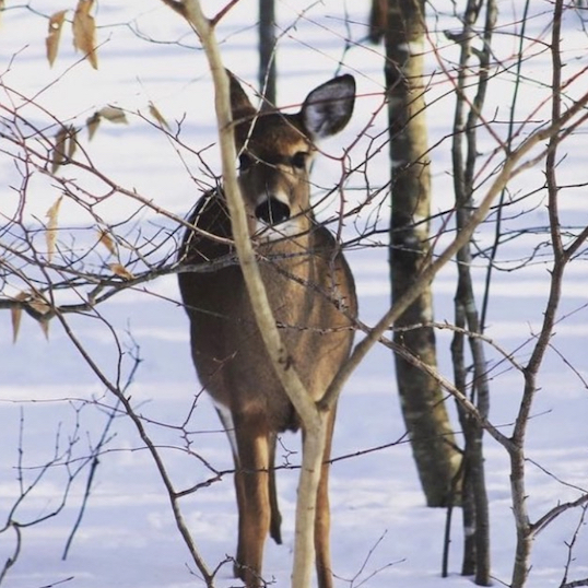
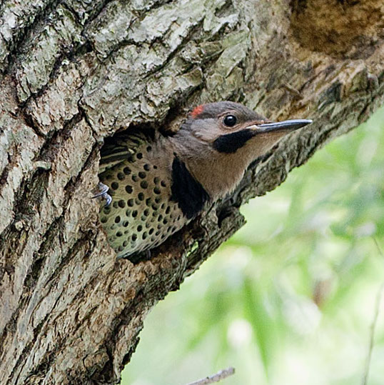
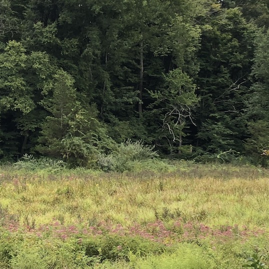
General Description: The preserve, also known as Mulberry Farm, is named after one of Guilford’s earliest settlers, who lived there and planted mulberry trees in hopes of establishing a silkworm business. The property came to GLCT in 1995 as a gift from William and Janet Cuthbert. This secluded 36 acres of field, salt marsh, ponds, and reverted woodlands is located between the West River and Mulberry Point Road. The property includes trails starting from Mulberry Point Road and continuing east to the West River. There is a field that is regularly mowed that hosts native grass species and along its edge antique domestic plantings gone wild. The field attracts butterflies and provides a unique habitat for a variety of birds. At the proper time of the year you can see the aerial mating display of the American Woodcock.
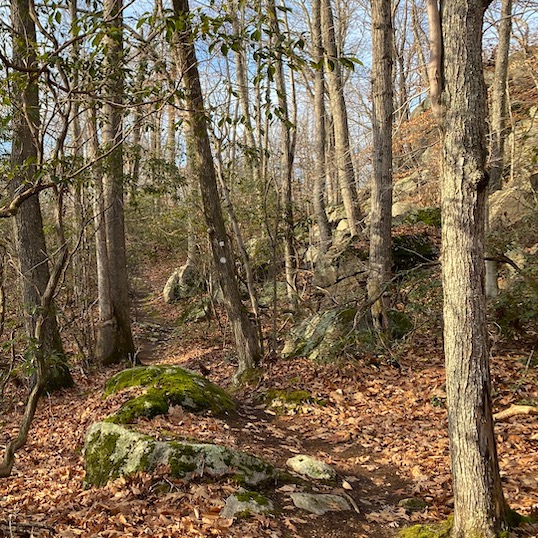
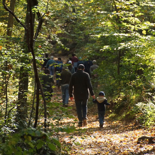
Difficulty: A short and moderate hike but not strenuous with some slope and mixed terrain.
Distance: 1.50 miles
Duration: 90 minutes
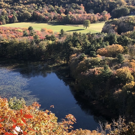
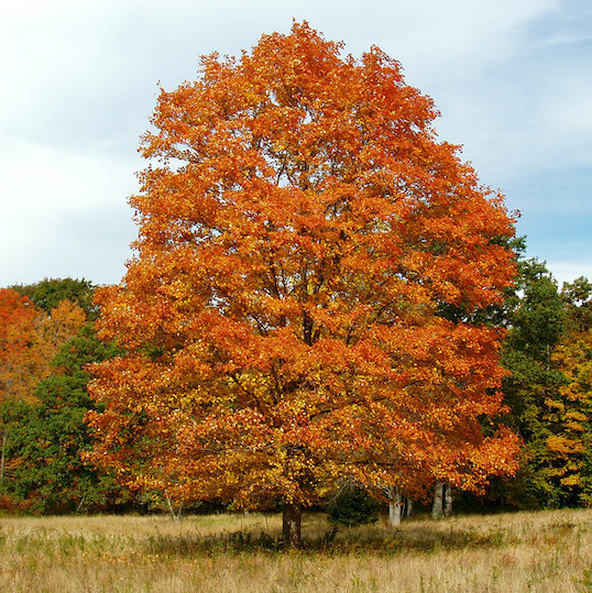
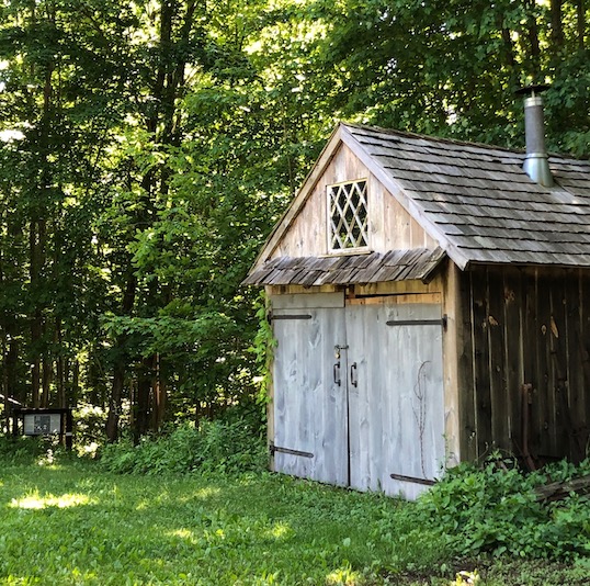
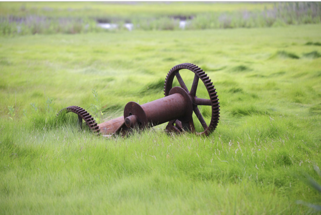
Sights: Salt Marsh Meadows, sweeping views of the West River, 1723 farmhouse, ponds associated with the farming heritage of the land, relics of antique farm equipment, a monster Magnolia tree.
Hike Narrative: The loop begins at the entrance to Mulberry Farms Road. Please park your car on the side of the road, in the area in front of the cedar post marking the trail entrance.
- Just a short way beyond the cedar post is the kiosk. From the kiosk, head south on the yellow trail.
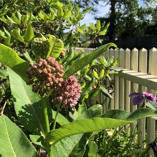
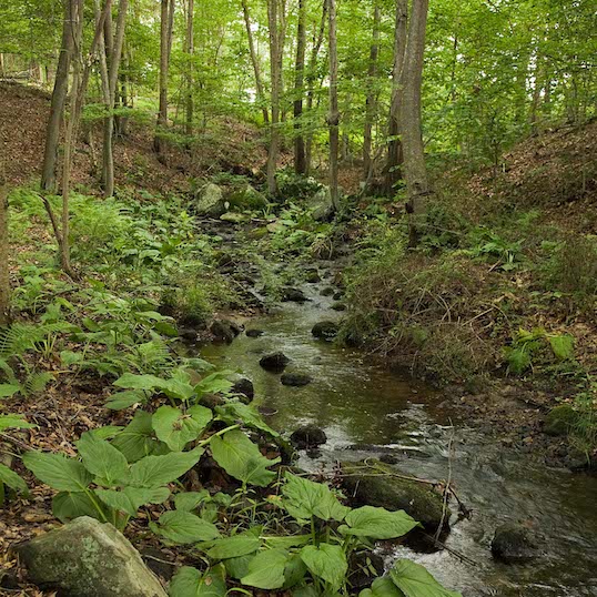
- The yellow trail circumnavigates a marshy area. In the spring there is a yellow glow from the American Spice Bush blossoms and you can often spot the Spice Bush swallowtail. You may also spot the spring blossoms of a native Azalea.
- Continue on the yellow trail over the plank bridge and along the south side of the marsh.
- You will follow a stonewall to the left of the traill, then you exit the trail and turn left onto Pinewood Road with a stonewall and the pond on your left.
- There is a small entrance to the pond area about 100 yards along Pinewood Road. Stop here for a view of the pond.
- Continue back onto Pinewood Road, and head right at the fork onto Mulberry Farms Road. This is the blue trail.
- As the field on your left comes into view you will notice the 1723 farmhouse built by Dr. Eliot across the field. On your right will be salt marsh meadows along the West River with a view of several inhabited Osprey nest platforms.
- As you approach the end of Mulberry Farms Road, turn left and head north onto the orange trail. Follow the old road grass trail 100 yards until you reach the Monster Magnolia tree.
- At the Magnolia tree, bear right to continue along the orange trail. Up ahead, continue on the orange trail by entering into the wooded area. Note: There is a small Salt Marsh side trail off of the orange trail that leads to views of the West River.
- The trail parallels the railroad for a bit and then turns south. Notice the bits and pieces of foundations and farm implements that bear testament to past land use.
- The orange trail will loop you back to the Monster Magnolia tree. Follow the orange trail back out to the blue trail (Mulberry Farms Road).
- Bear right to continue on Mulberry Farms Road (the previous yellow trail will go off to your left). As you continue along Mulberry Farms Road, views of the pond will be on your left.
- You will notice a small abandoned foundation to your left, a short distance from that foundation, enter the white trail on your right.
- Follow the white trail north towards the railroad and turn westward up a slight incline. You will now be overlooking the railroad tracks.
- Continue heading west through small hills and valleys on the white trail parallel to the train tracks. Exit the trail back onto Mulberry Point Road and the parking area to your left.