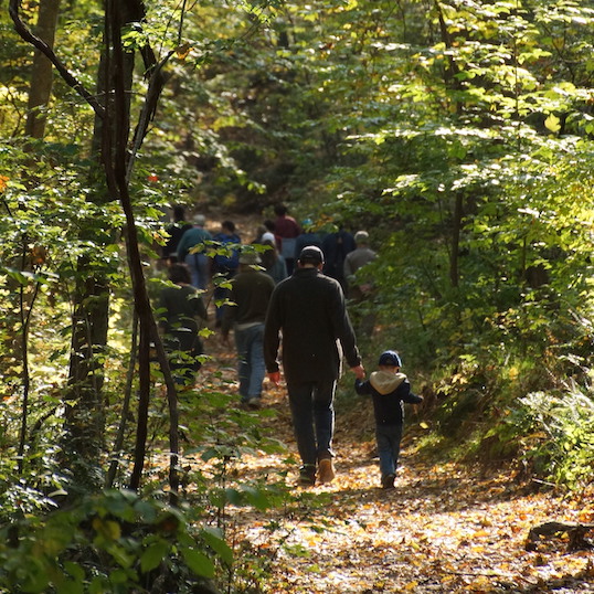
Westwoods Loop 5 – Mountain Laurel Forest
Distance: 3 miles
Allow: 90 minutes
Elevation Gain: 337 feet
Difficulty: 2.5 Easy to Moderate (a couple of fairly steep climbs.)
Terrain: Some steep climbs
Not suitable for trail running.
General Description: To access Loop 5, begin at the Trailhead at the end of Dunk Rock Road, directly across from Bishop’s Raspberry field. Off-road parking is available on both sides of the road.
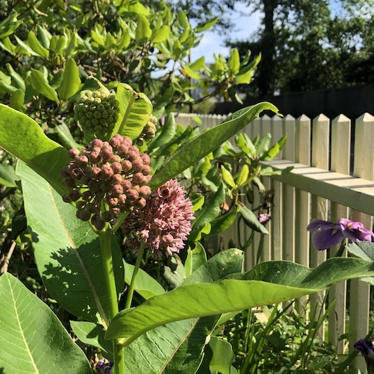
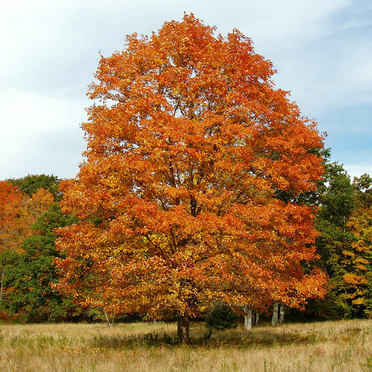
Note that this loop trail begins on the Blue Circle located on the left side of the parking lot. There are other trails that begin from this parking area, so be sure to start on the Blue Circle on the left. It will immediately take you on a climb up the hill. You will stay on the Blue Circle for about 1/3rd of the hike. Very close to the start of the hike, note a large rock on your left and look for a secret “mailbox” in the rock that’s used by hikers and Westwoods volunteers (POI-1) to leave messages to one another. The trail climbs steeply, and soon you’ll want to pause to have a view of the valley below. As you plateau you are welcomed by the Mountain Laurel Forest (POI–2). Mountain Laurel is Connecticut’s state flower and typically blooms in early June.
Stay on the Blue Circle as it crosses the Blue Rectangle trail and continue south descending further into the valley.
The Blue Circle merges with the Red Rectangle trail for a very short distance but continue on the Blue Circle. The trail will begin to climb out of the wetland valley and into a hardwood forest.
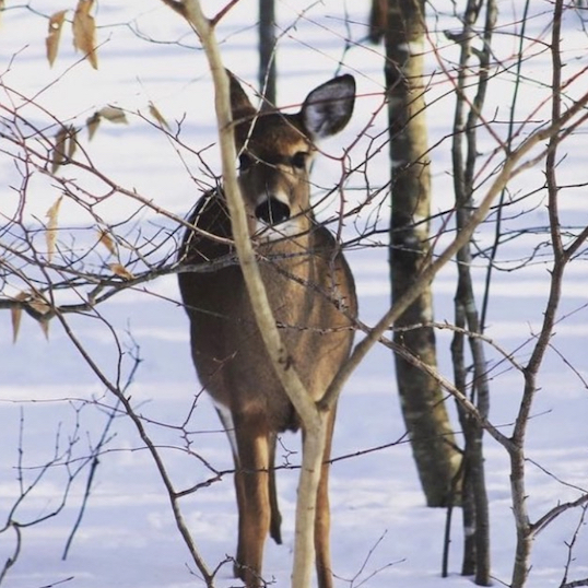
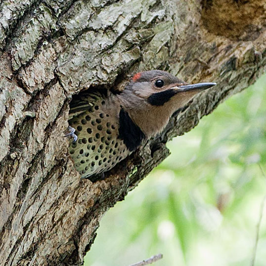
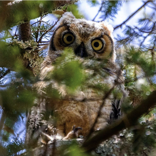
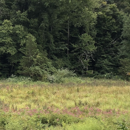
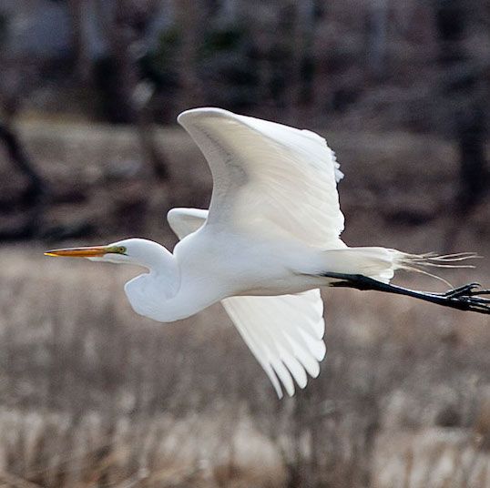
At two points along this loop trail you will cross a section that is suspiciously lacking the typical trees in the area (POI-4). Until 2022 the electric power lines to Guilford ran along this corridor. The Westwoods trails committee has maintained portions of this clearing that was once kept clear by the power company for over 100 years. During this time a new ecosystem developed, attracting birds, animals and plants that live in woodland and field transitional zones. The Land Trust is committed to maintaining this as a welcome space for the species that call this area home.
Continue on the Blue Circle as it crosses the eastern section of the Yellow Triangle loop. The trail then climbs for 400ft or so and intersects with the western section of the same Yellow Triangle loop. Continuing on the Blue Circle, turn left and follow a shared section of trail. The Yellow Triangle veers off to the left but stay on the Blue Circle.
The return trip begins at the end of the Blue Circle by taking a right on Green Circle. You will be on the Green Circle for most of the remainder of the hike.
The Green Circle begins with a hill. The Red Rectangle Trail enters from the right and the two trails share the path for a short distance. Keep your eyes open for the Green Circle trail blazes as they lead off to the right.
- Note the classic pink granite rock formation (POI-3). There is a narrow rock fissure for the adventurous (and very skinny!) to squeeze through.
- You’ll again cross through a clearing, which is the second of the power line crossings. (POI-4)
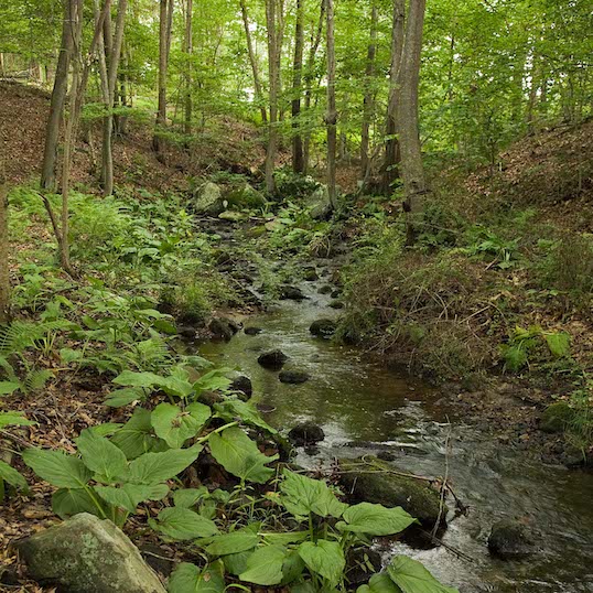
Green Circle makes a left, then again crosses the Blue Rectangle and follows the Green Triangle (the Nature Trail) for a very short distance. (Yes, at this point you are on 3 trails simultaneously). Stay on the Green Circle as it makes an immediate left and hugs the ridge. This section of the trail negotiates many ledges and boulders found on this slope. Be prepared for frequent ups and downs with slippery footing in wet conditions.
Green Circle passes by the decayed remains of the Great Hemlock (POI–5). The Great Hemlock was once over 125 feet tall with a diameter of 46 inches (the width of a typical coffee table). It survived the 1938 hurricane, an ice storm in the 1970’s and gypsy moths in the 1980’s. It succumbed to the woolley adelgid infestation brought into our area from Hurricane Gloria in 1985.
You will leave the Green Circle and make a right on the Green Rectangle for the remainder of the hike. The Green Rectangle trail was once Marsh Road, an old colonial road connecting Guilford Center with Moose Hill Road.
Continue on Green Rectangle, which shares the route with the Green Triangle for a short time. Stay on the Green Rectangle and the Triangle goes right. The trial will take a right and cross a bridge.
Note the rock commemorating Bernard Kane, a tireless builder, advocate and supporter of the Westwoods Trails. (POI–6).
You are nearly out of the woods now. Continue on Green Rectangle as it makes a right at the fork. Cross over your two bridges and the parking lot should be in view shortly.