Westwoods Loop 4 – The White Squeeze
General Description: Loop #4 begins with a short and easy hike to Lost Lake and then a hike along a ridge with beautiful views of the valley below. You’ll return with a hike down through the valley following below the rock ridge.
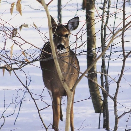
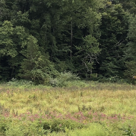
Sights: Views of Lost Lake (with great picnic spots) and impressive natural rock formations including a large rock overhang and a challenging squeeze through a gigantic granite fissure.
Distance: 2.3 miles
Duration: Allow 75 minutes
Difficulty: An easy to moderate hike with some rocky climbs and descents.
Terrain: Not suitable for trail running.
Weather considerations: Rain/snow may cause some slippery conditions especially on climbs and descents. The valley area often has wet conditions.
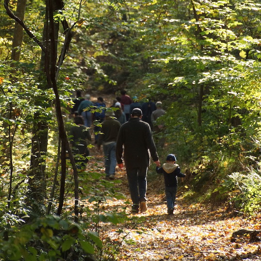
Hiking Narrative: To access Loop 4, begin at the cul-de-sac at the end of Three Corners Road. Parking is available on the road, please be courteous and do not block the driveways. You begin the hike by taking the Red Triangle, which you will find down the driveway of 494 Three Corner’s Road. This is private property, but the State owns the ‘right-of-way’ across a corner of this land to allow access to the state forest. The trail is marked with a Trail Post, and there is a kiosk just a few steps away.
To begin:
The kiosk on your right has a detailed map of Westwoods and information on the property and the Land Trust. Just past the kiosk the trail veers right and away from a badly eroded section of the old woods road. This was closed by the Trails Committee in their on-going efforts to limit the damage to the ecosystem. After a short distance you’ll see the Orange Circle trail.
- (POI – 1) High above your head and on the face of the rock wall, can you see where the trails committee “erased” the graffiti using a slurry of moss, sour milk, and paint. Dramatic cliffs like these are found throughout Westwoods.
Take a left onto the Orange Circle, which you’ll follow for about 1/3 of a mile. Like many of the ‘valley’ trails in Westwoods, this section of trail follows an old woods road that the trails share. At the bottom of the hill the Red Triangle trail splits to the right, but stay on the Orange Circle and keep going straight and to the south.
- (POI – 2) notice the many Norway Spruce growing along the trail edges. The Westwoods Trails Committee planted these trees in 1997 to reforest this area after the hemlocks were critically damaged by the woolley adelgid insect.
The trail comes to a “T” where the Orange Circle continues south (to the left) and the White/Orange Cross trail continues to the right (the cross trails are denoted by a rectangle blaze with the top color indicating the trail you are going to and the bottom color indicating the trail you are on – in this instance, white and orange). Take the right onto the cross trail and continue 20 yards to the intersection with the White Circle. When you return to the trail you will be going right (North) on the White Circle, but first take a short scramble up the rocks you’re facing and find (POI – 3) Lost Lake:
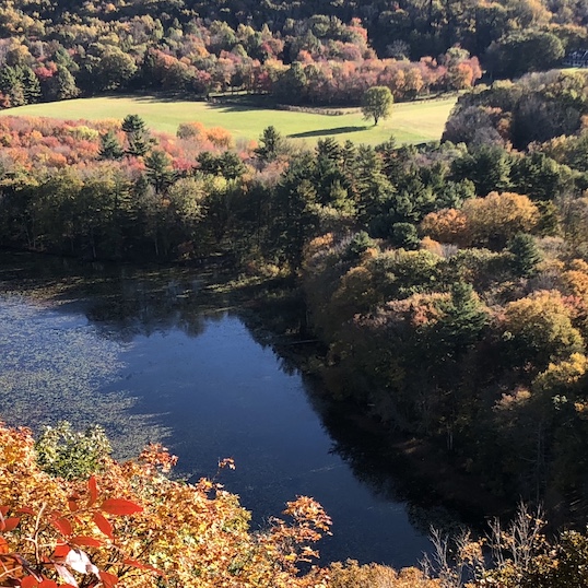
- The lake is viewed from atop a large rock outcropping. The area is suitable for a picnic gathering and provides opportunities for solitary contemplation.
- While viewing the lake, notice the two sets of piers that traverse the water surface just below the cliff. On this pier a railroad once ran; servicing quarry operations at the upper end of Lost Lake.
When you are ready to return to the trail, join the White Circle going North. Continue following the White Circle along the spine of the ridgeline. For the next 3⁄4 of a mile, you’ll be following a rugged rocky upland which is oriented in a northwest/southeast direction. This topography is repeated throughout Westwoods, and much of this corner of Guilford. With very thin and quickly drained soils, these ridge lines are special habitats where you’ll find misshapen chestnut oaks, red cedars and some small groves of rare pitch pine.
- For the first 1/8 mile, the trail flirts with the boundary between the Land Trust and Cockaponset State Forest. You’ll see their boundary sign and distinctive yellow marking paint on a tree to the left of the trail.
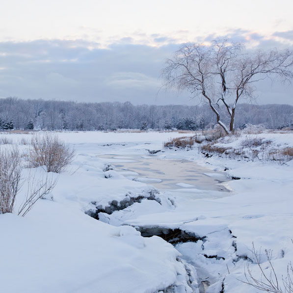
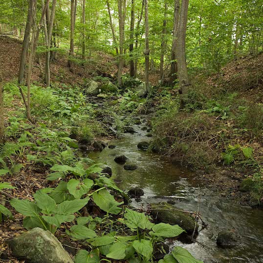
- To the west and forty feet below the ridgeline flows Great Harbor Brook, which drains the wetlands on the northwest corner of Westwoods into Lost Lake.
- You’ll leave Land Trust property for about 1/8 of a mile and then return. The properties we’re now crossing are recent acquisitions bought from private landowners in 2012 and 2018. Although located in the very center of Westwoods, these properties were threatened by residential development and long sought for permanent conservation protection.
- Stay on the White Circle as it climbs almost 70 feet.
- The trail drops about 30ft to a saddle, then climbs the next rise. Just before the top, you will have a choice: Choice 1) Left on the White Circle and enter ‘The Squeeze’ (POI – 4), a narrow rock fissure in huge blocks of granite, or Choice 2) If squeezing your body between two rocks is not your thing, you can avoid the feature by going right and follow the White Square. It will meet up with the White Circle again at a short distance.
- About 1-1/4 miles into the hike, keep your eyes open for a small glacial boulder just next to the trail. The image of a face, with a broad smile can we easily imagined. This feature is known as ‘The Grinning Troll’ (POI – 5).
- Dropping down a steep section of the trail, a White Square trail branches to your left. A variation of Loop 4 can take this pleasant trail as an upland version of the route we’ll be following.
Look for the second White Square trail branching off to your left. Following this, you’ll descend to the valley floor, leaving Land Trust property and entering the state forest to begin the return trip south.
- As you follow below the rock ridge you’ll come to an impressive rock overhang, known as ‘The Shelter’ (POI – 6). Take some time to explore.
- Continue along the White Square, hiking at the bottom of the valley with Great Harbor Brook to your right. This was once an old woods road with the Land Trust and state property lines running parallel to your path.
The White Square trail ends, and White Circle crosses your path. Continue straight on the Red/White cross trail. You have hiked for about 1- 3/4 miles.
At the end of the Red/White Cross Trail you intersect with the Red Triangle, where you will take a right to return to the trailhead and driveway on Three Corner’s Road.