Westwoods Loop 3 – Cairn and Cave
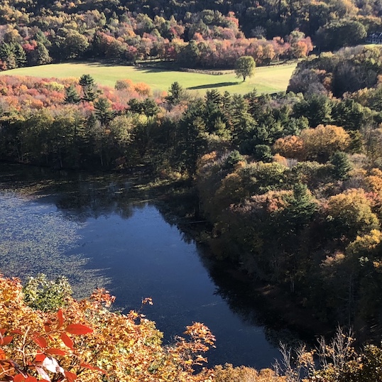
General Description: Loop #3 begins with beautiful scenery and easy hiking on the Red
Triangle trail. You’ll find a fascinating natural rock cave on the Orange Circle trail for the
second half of the loop, which has a few rocky climbs and descents.
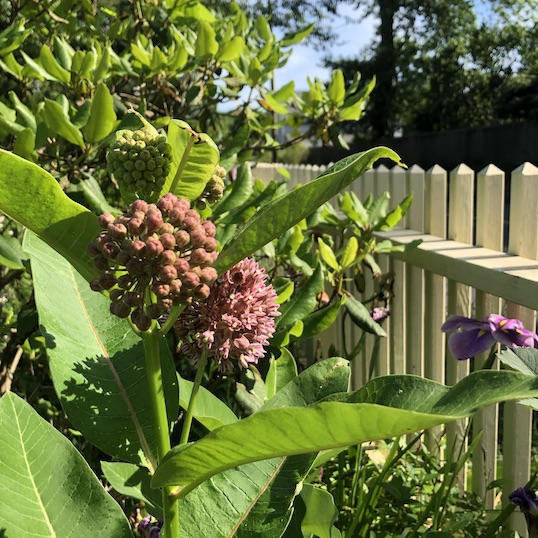
Sights: Surviving Hemlock trees, a curious cairn, and a real Indian cave.
Difficulty: A short and moderate hike with some rocky climbs and descents.
Terrain: Steep climbs with loose rocks on the Orange Circle make this loop unsuitable for trail running.
Duration: 45-60 minutes
Distance: 1.3 miles
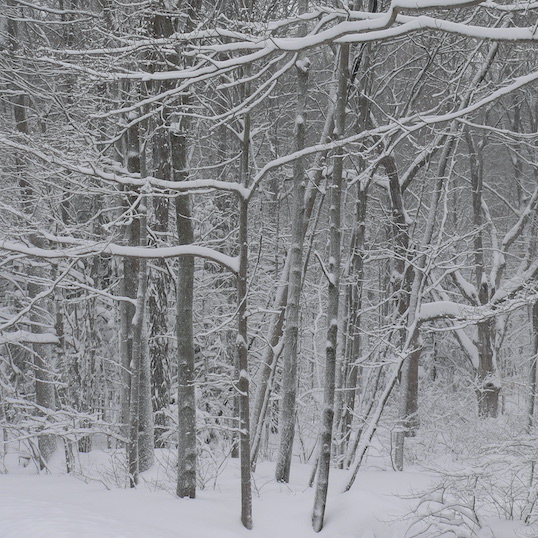
Weather considerations: Rain/snow may cause some slippery conditions especially on climbs and descents.
Hiking Narrative: The Three Corner’s Road trailhead is off the cul-de-sac at the very end of the road. To get to the trail, you’ll need to hike down the driveway of 494 Three Corners Road. This is private property, but the State owns the ‘right-of-way’ across a corner of this land to allow access to the State Forest. There is parking for multiple cars at the edge of the cul-de-sac, or along the road itself. Please don’t block any of the driveways. To begin:
You’ll be starting off on a long tree-lined driveway (the house is not in view). Look for the Red Triangle symbol on a tree to the left. Towards the end of the driveway the trail veers off to the right as the driveway climbs left. The trail is marked with a Trail Post.
About 150 feet from the driveway edge, you’ll enter Cocaponsett State Forest. If you’re observant, you’ll see their boundary sign and distinctive yellow marking paint on either side of the trail. You will pass a map kiosk on your right, with both a detailed map of all of Westwoods and information on both the property and the Land Trust. After passing the kiosk, the trail veers right and away from a badly eroded section of the old woods road. It soon joins the Orange Circle trail for a short distance before taking a hard right turn at the bottom of the hill.
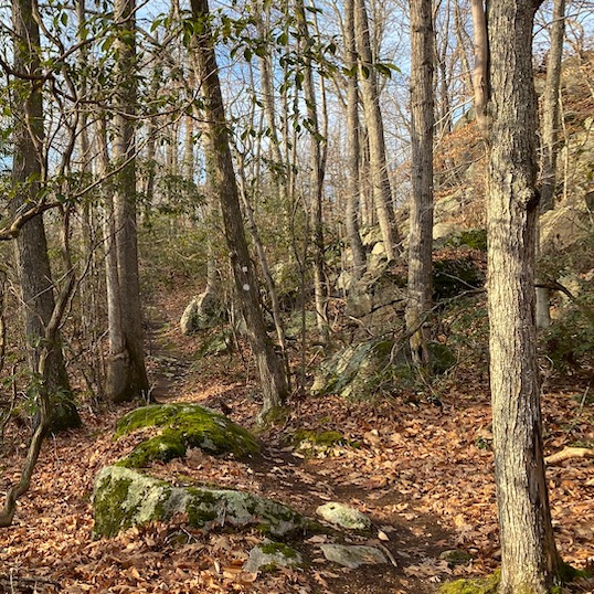
The Red Triangle then re-joins the woods road heading over level ground to the northwest. In the 19th and early 20 th centuries, Westwoods was used as a woodlot for both Guilford residents and regional manufacturers of bricks. In the 1960’s and before development, the paved section of Three Corners Road looked much like this section of trail.
- As the trail begins to rise, you’ll leave the State Forest and enter property owned by the Land Trust. The Land Trust marks their boundaries with white and green signs, displayed as diamonds, which you’ll see posted on a nearby tree. The properties we’ll be crossing are recent acquisitions: bought from private landowners in 2012 and 2018. Although located in the very center of Westwoods, these properties were threatened by residential development, and long sought for permanent conservation protection.
- Keep your eyes open on the right side of the trail. You’ll see an interesting cairn (POI – 1) at the height of land. Twenty years ago, this was underneath a teepee structure built by an unknown person for an unknown purpose. This modest rock pile is all that remains of that mysterious structure.
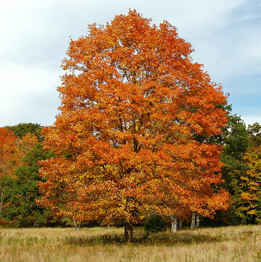
- Continue along the Red Triangle trail. Note the many large Hemlock trees (POI – 2) in this moist and somewhat sheltered environment. These Hemlocks were able to avoid the Woolley Adelgid insect that arrived in Connecticut in 1985, infecting and killing many of our Hemlocks. Perhaps it is because of the wet conditions in the area that these Hemlocks survived.
- To the north, you’ll pass through a clearing that runs on either side of the trail and then continue into the woods.
Make a right on the Blue Rectangle, which crosses Westwoods on an old colonial roadway. An extension of Dunk Rock Road, this path was one of the few east/west crossings across this rugged terrain. You’ll only go a short distance on this trail, but notice that for 200ft or so, there are State Forest signs to your left, and Land Trust signs to your right. Over this short section, the property line is the center of the road. Beyond this, you’ve returned to the Cocaponsett State Forest.
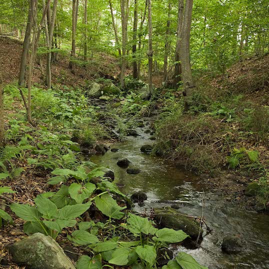
Take your first right onto the Orange Circle trail. The Orange Circle is amongst the oldest trails in Westwoods; appearing on trail maps published in 1966. You’ll cross a small stream, then parallel and then pass through the power line clearing, crossing some exposed bedrock (POI – 3).
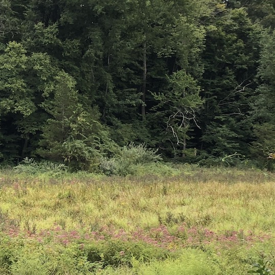
- In the 1930’s electric power from New Haven came to Guilford along this corridor. Alternate power lines along Route 1 made this unnecessary, and in 2022 the lines were removed. In the 100 years of clearing, this became a special ecosystem that attracted birds, animals and plants that live in woodland/field transitional zones. The Land Trust is planning to maintain a portion of this clearing, to help sustain this special place.
- As you continue along on the Orange circle you’ll see a large, natural cave on your left (POI – 4). Stop and explore. This area has been researched and it is believed to have been a temporary living residence for American Indians. The Indians came in the summer for shell fishing. You’ll find broken seashells in the ground near the cave even though you’re miles from the shore. It is likely that they built temporary shelters and leaned them against the wall to provide more protection.
Orange Circle climbs up the rock and makes a right turn immediately at the top. After walking about 500ft through these upland woods you’ll leave the State Forest and enter Land Trust property.
- Immediately you’ll encounter a steep and rocky slope. Bikers refer to this area as “the cheese grater”, for obvious reasons. Sixty years ago, when the Orange Trail was blazed up this slope, this was a narrow trail covered with a thin layer of soil with some exposed rocks. Foot traffic, and later bike traffic, compacted and then eroded away the soil, and exposed the bedrock you walk across today. Seeking an easier path, trail users have widened the trail, and further damaged the surrounding area. It’s a lesson for trail users: keep to the established trail, step carefully and over obstacles, but not around them.
- About half way down the slope you’ll find another cave on your right (POI – 5). This is known as Joe’s Cave, named for a past Westwoods Trails Committee (WWTC) member, Joe Ortoleva. Look carefully because this one isn’t very obvious. It is long and narrow in comparison to the first Indian cave.
- At the top of the next hill, you’ll cross back into the State Forest Land.
The Orange Circle takes a hard right and heads down a steep and rocky climb, but Loop 3 goes straight and follows the Red/Orange Cross trail. You’ll go a short distance.
Take a left on the Red Triangle which will lead you back to the entrance.