Westwoods Loop 12 – Fallen Cliff
Distance: 3.25 miles
Duration: 1.5 hours
Elevation Gain: 386 feet
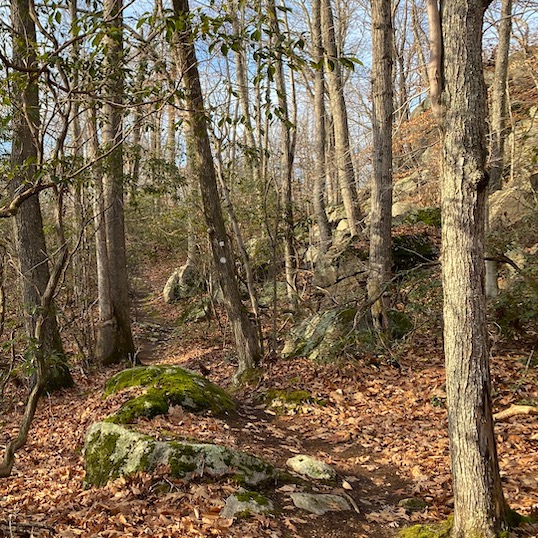
Difficulty: This is moderately difficult with quite a bit of up and down hiking and varied terrain. There is one short area that is a steep scramble up a rocky wall right before you reach the Lost Lake Vista.
Terrain: Mixed terrain with lots of up and down climbs. Some climbs are steep.
Weather considerations: Some areas could be muddy and slippery if there has been recent rain. Some parts are suitable for trail running. Be sure to scout the area before lacing up the trail running shoes.
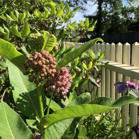
General Description: This is one of our longer loop hikes taking you quickly to “Table Rock”, followed by a long hike south on Yellow Circle trail to the Lost Lake Vista, returning on the Yellow Square. You will hike by nine of Westwoods points of interests, including two water features – a small seasonal waterfall and Lost Lake Vista (take a snack and enjoy the view), and awe-inspiring rock features – Great Fallen Cliff and Rock Canopy and a couple of Glacial Boulders. Enjoy!!
Hiking Narrative: Park your car at lower Moose Hill Road trail entrance, opposite the northern end of Landon’s Way.
- Begin hiking on the center trail between the Blue Rectangle and Pink Circle trails starting from the parking lot. This trail is marked in Violet Square blazing and is a favorite shortcut to a popular spot called “Table Rock”. Continue straight on the unmarked trail as it crosses Violet Circle.
- After crossing Violet Circle, continue straight on the Violet/Yellow Cross Trail.
- As you reach Table Rock (a flat ledge area, POI – 1) take a right and follow the rock clearing on its long axis heading south. Look carefully for blazes verifying you’re following the Yellow Circle trail.
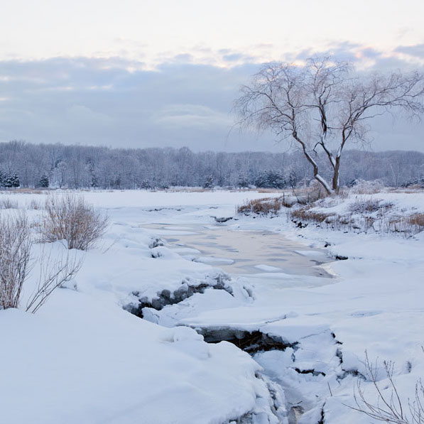
- The Yellow Circle trail passes above a seasonal waterfall (POI – 2). You’ll catch this waterfall in the Spring during the snow melt, or times of wet weather.
- Continue straight on Yellow Circle. After passing by the Yellow/Violet cross trail intersection, begin climbing uphill.
- The trail threads between 2 large glacial boulders (POI – 3), deposited by a glacier that covered Guilford 20,000 years ago.
- After passing theYellow/Yellow Cross Trail on your left, continue straight as the Yellow Circle ascends a steep cliff.
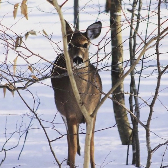
- Following the top of a ridge, you’ll pass another Glacial Boulder (POI – 4) then occasional glimpses of Lost Lake. Here you will have a few options to extend the hike a bit. Look for the two Yellow Diamond trails that will take you to the water’s edge. Just remember that what goes down, must go back up again.
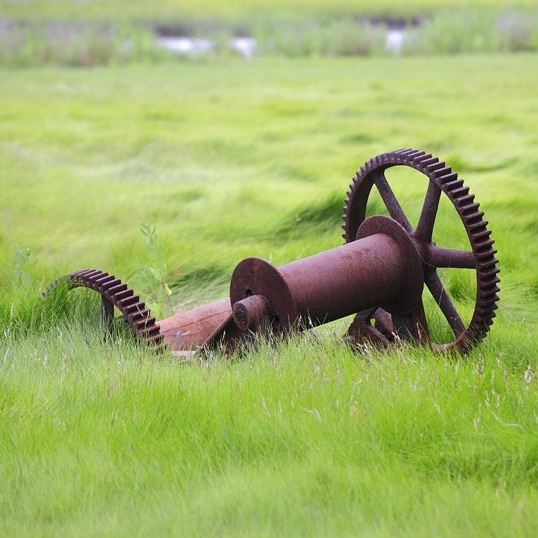
- Between the two Yellow Diamond excursions is a short a bridge that spans Great Harbor Brook. Quarry activity (POI – 5) can be discovered throughout this small valley. You are now at about the half way point of the hike.
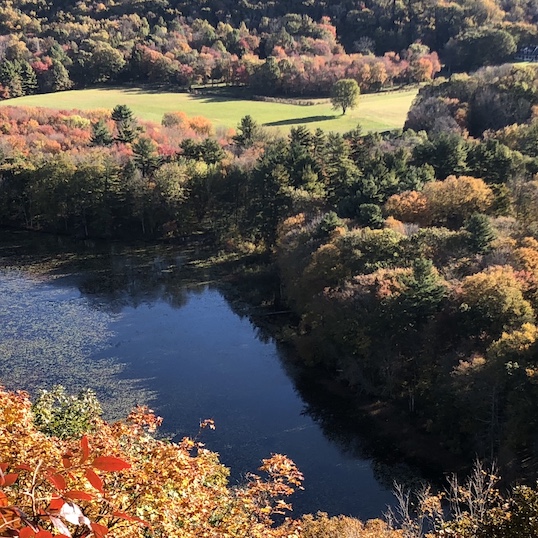
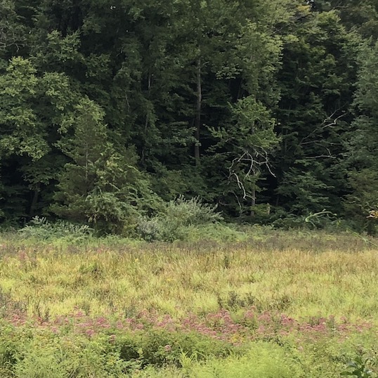
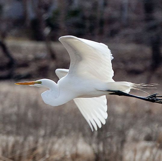
- Yellow Square goes left, but continue on Yellow Circle as it makes a steep climb to Lost Lake Vista (POI – 6). This is the end of the Yellow Circle trail and the return point for this loop trail. Relax and rest a bit at Lost Lake Vista. Many water birds can be seen from this serene location.
- Backtrack on Yellow Circle and then take a right on Yellow Square for the return trip. You will hike in a valley to the east of the Yellow Circle.
- Cross a small bridge which brings you back to the western side of Great Harbor Brook.
- Stay right on Yellow Square as you pass the Yellow/Yellow Cross Trail on your left.
- In the valley you will be in the shadow of the Great Fallen Cliff, known as ’The Pulpit’ (POI – 7). Stop, look up high, and study this enormous rock feature. If you look closely, you can see small caves high on the main cliff. These sunless caves grow unusual plant life, adding to the enormous natural diversity found in the West Woods trails.
- Continue on Yellow Square past the lower portion of the seasonal waterfall (POI – 8) that we crossed earlier. Step over the stream at the lower end of the waterfall.
- Continue straight on Yellow Square as Blue Rectangle joins your path north, merging with the Yellow Square.
- Look to your left for the Rock Canopy (POI – 9). Imagine what creatures call this home.
- Take a left on Yellow Circle as Yellow Square ends.
- You’ll join the Blue Rectangle and Red Triangle Trails for a steep but short climb, then the Yellow Circle turns left while the Blue and Red Trails continue straight. You’ll then encounter a steep uphill, and may need to take a break mid-climb before reaching the open rock face of Table Rock.
- Once the trail levels out keep alert to find the Yellow/Violet Cross trail entrance.
- Follow this and the Violet Square Trails back to the parking area on Moose Hill Road.