Westwoods Loop 1 – Lost Lake Vista
General Description: Are you looking for a moderately difficult hike with a water vista? The Westwoods Trails Committee developed Loop 1 with that in mind. The trailhead is located at the Sam Hill Road entrance, incorporates the white circle and white square trails, and brings you to the Lost Lake Vista.
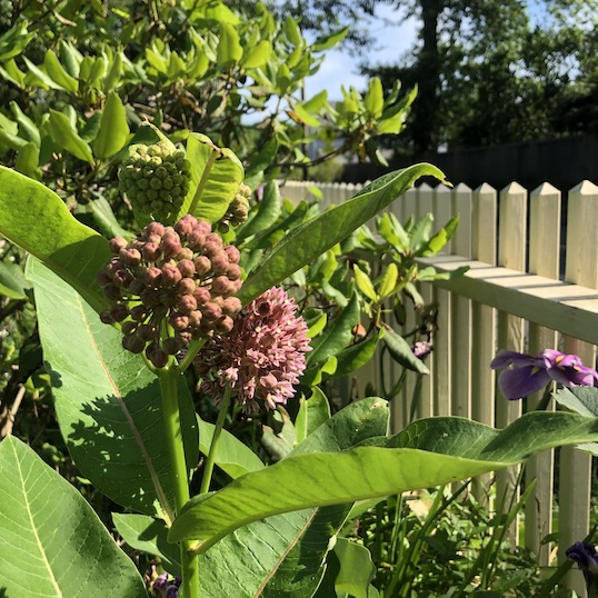
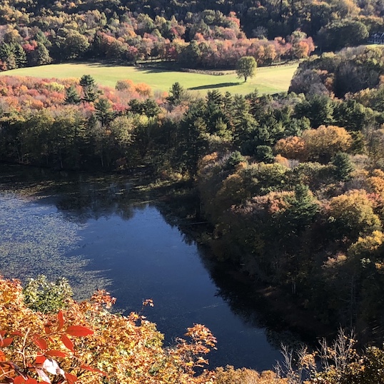
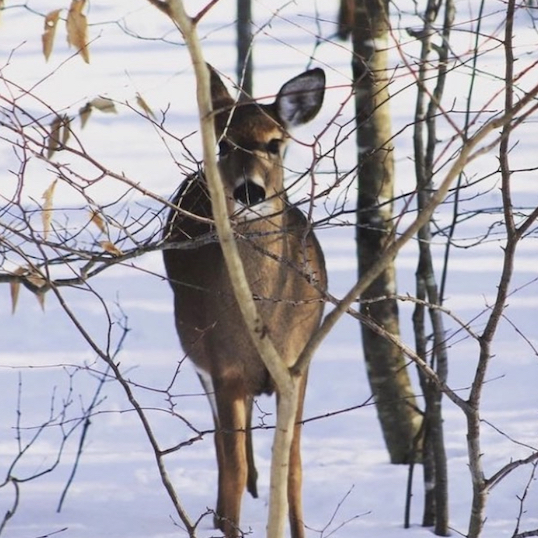
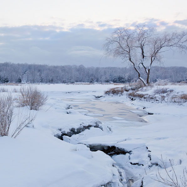
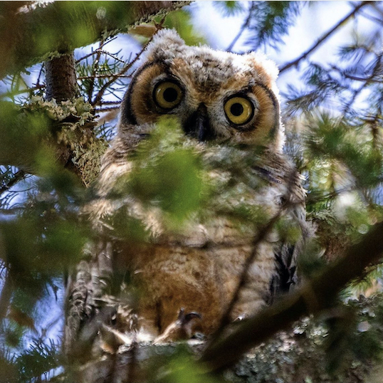
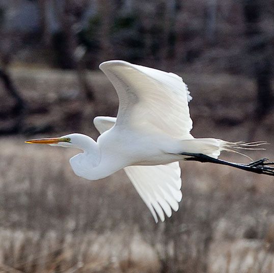
Sights: Lost Lake vistas, evidence of quarry activities, tree growing between a split rock – our Westwoods emblem. Many picnic spots on rock outcroppings with a view of Lost Lake.
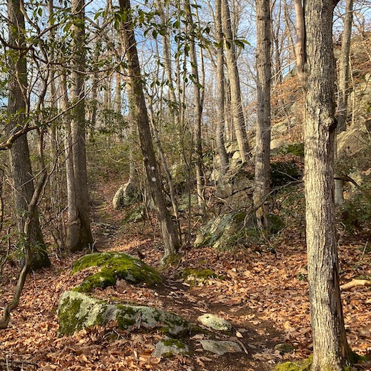
Difficulty: Moderate (hills with steep climbs, rock scrambles, may need help from other hikers).
Terrain: Mostly flat and some rock scrambles upward and downward. Not suitable for trail running.
Duration: Allow 2 hours.
Statistics: 3 miles, with an elevation gain of 300 feet.
Weather considerations: A few areas may be muddy if there has been recent rain.
Hiking Narrative:
The Sam Hill Road entrance is at the corner of Sam Hill Road and Route 146. A parking area is available and there is a kiosk at the trailhead. To begin:
Hike along the white circle trail, which parallels the railroad tracks for a short distance. The white circle intersects with many other trails; you will be on the white circle all the way to the Lost Lake vista, about a mile.
- POI 1: Quarrymen made their home in Westwoods while they were building the retaining walls for the rail line. About a quarter mile from the Sam Hill parking are remnants of their encampments including a well and stone foundations.
- About 200 yards from the quarrymen encampments, while following the white circle, you’ll notice a natural stone wall about 4’ high.
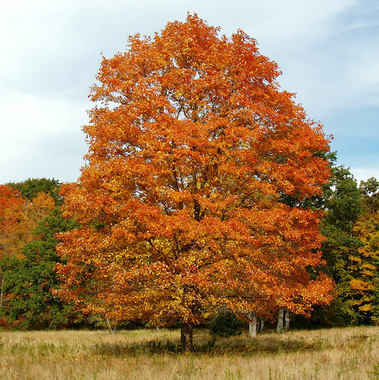
- POI 2: At the crest of the hill, just off the trail and to the right, you’ll see the emblem of Westwoods, a beautiful red cedar growing between a 7-foot-high split rock (a glacial boulder).
- POI 3: A forest fire swept through this area in May 2008. Note the very dense growth of small birch and aspen. These are some of the common pioneer species that initially colonize burned areas.
- The lake is viewed from atop a large rock outcropping. The area is suitable for a picnic gathering and provides opportunities for solitary contemplation. This vista is POI 4 on the map.
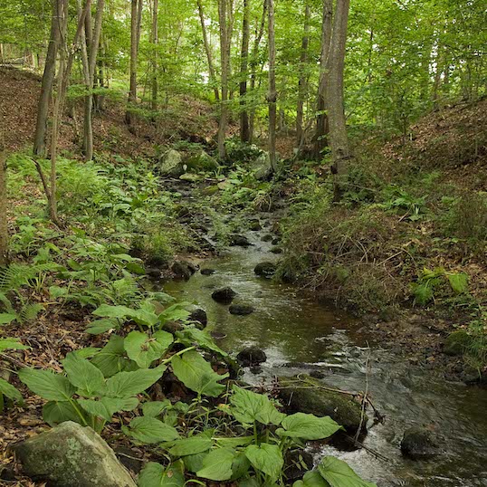
- While viewing the lake, notice the two sets of piers that traverse the water surface just below the cliff. On this pier a railroad once ran; servicing quarry operations at the upper end of Lost Lake.
- When you are ready to leave the Lost Lake vista, retrace your steps back down the white circle until you meet the white square; visible on your right.
Turn right onto the white square. Almost immediately you will encounter a steep climb down to the water edge. This is the most challenging part of the hike.
- POI 5: In this area you will see outcroppings of pitch pines: a rare ecosystem in Connecticut. The pitch pine forests in Groton are considered one of the 13 most critically endangered ecosystems in Connecticut by the Department of Energy and Environmental Protection (CT DEEP). Although this area was partially burned in the 2008 fire, Pitch Pine’s natural fire resistance spared most of the trees, and they’re now amongst the oldest trees in this area. If you are observant, you’ll find Pitch Pine all along this section of the trail.
- The white square takes a turn inland and around a high-marsh salt meadow. Stone walls can also be seen along the lake edge. Soon you’ll reach an intersection with the white circle trail.
Turn right onto the white circle trail and follow it for about ¼ mile. You’ll likely recognize the natural stonewall and later the well and foundations you passed while heading to the lake overlook. Across from POI 1 you’ll see the white square trail, on your right.
Turn right onto the white square. Once you make the turn, the trail will immediately jog right, and after a short distance there is an unmarked trail on your left, shown as a dotted line on the map.
Turn right onto this unmarked trail to see POI 6. In the 19th century quarrymen made their home in this area. Follow the dotted line on the map to see numerous rock carvings. The path has no blazes but is well worn and easy to follow.
Retrace your steps on the unmarked trail and turn left on the white square. Follow the trail as it wanders through stands of mountain laurel to reach the end of the rocky peninsula.
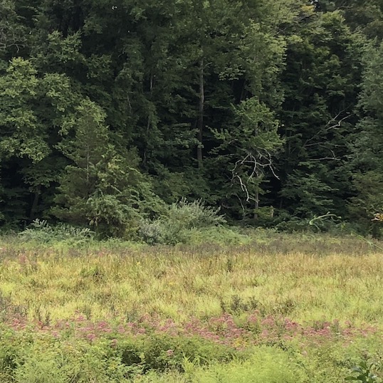
- The trail reaches a rock ledge that provides a sweeping view of the southern end of Lost Lake (POI 7). The lake is tidal and extremely shallow. In the 19th and early 20th century tidal gates allowed spartina grass to grow here, and the entire basin was farmed for salt hay.
- The trail heads inland and up a steep rise to another beautiful view of the lake (POI 8). This is known as Fred & Sally’s overlook, named in honor of Fred and Sally Richards, a couple whom put decades of love and effort into the trails and open spaces in Guilford.
- Again, the trail heads inland for a short distance, but soon turns right.
Follow the white square as it takes a hard right to climb a small hill. The trail then follows the rocky outcroppings along the edge of the lake with both pleasant vistas and old stonewalls.
- A high point at POI 9 allows a view of the lower lake and over the railroad tracks into the vast salt meadows to the south. These are part of the State owned Great Harbor Wildlife Refuge.
- The trail drops into a level corridor that was a former railroad siding and then climbs around a huge square granite boulder the size of a small house.
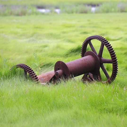
- Scrambling around the backside of this boulder, you’ll pass through an area filled with discarded quarry stones (POI 10). It is a mystery as why these stones were discarded after such effort was put into their removal from the surrounding bedrock.
- In just a few steps you’ll again reach an intersection with the white circle trail.
Take a right turn and the trail will lead you back past the railroad to the Sam Hill parking lot.