New Interactive Trail Maps Available
GLCT Members Ted Mankovich and Frank Ferro have been busy getting a new and improved trail mapping app up and running. The new app is called Avenza PDF Maps and is available for the Apple and Android tablets and phones.
Avenza PDF Maps for Apple iOS
Avenza PDF Maps for Android OS
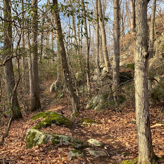
The maps, custom made for the Land Trust by Ted, feature terrain markings, colored trail markings, surrounding streets, and most notably, geo-location using your device’s built-in GPS. It is also possible to import a points-of-interest (POI) file to overlay the map.
The maps are available at the Avenza map store. Once the app is installed on your device, click the “Store” button. Searching for “Westwoods GLCT” will provide a list of available maps. Several maps are available, including a free sample of loop 1 starting at Sam Hill Road, and a larger map of Westwoods for $9.99.
Once loaded, open the map by tapping on it in your list of maps. The bullseye will center on your sensed location when you are within the bounds of the map.
As with any GPS app, battery life is sometimes an issue. Note that turning off wifi and Bluetooth will prolong battery life. It is recommended to download the app and map from home under wifi as the maps tend to be many megabytes in size.
Please let us know how the app works for you, whether good or bad. Feedback can be sent to our Mapping Team email address.