Nut Plains Exterior White Loop Trail
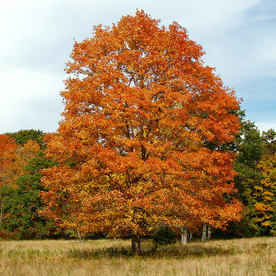
Nut Plains Woods consists of six separate properties accumulated by GLCT over a thirty year period. The primary, and earliest, 57-acre piece was the result of an anonymous donation in 1972 and represented a significant increase in the Land Trust’s non-saltmarsh holdings, and an expansion of trails outside of Westwoods. Development of the Orcutt lands to the east, and the donation of the Lawler land to the north more than doubled the size of the original preserve to its present 116 acres.
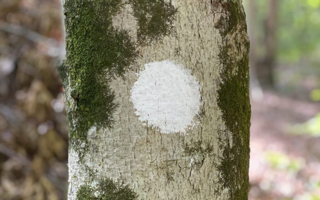
Nut Plains Woods contains marked trails designed by Richard Elliott, who also designed the Westwood Trails in Guilford.
Difficulty: moderate with one short rocky scramble and one walk along the edge of a steep drop
Duration: 1 hour at moderate pace
Location: Begin this hike from the Cindy Lane entrance. Follow the short right-of-way access between #48 and #60 Cindy Lane to the trail head. Begin the hike to your right (northeast) when facing the trailhead.
Hike Narrative:
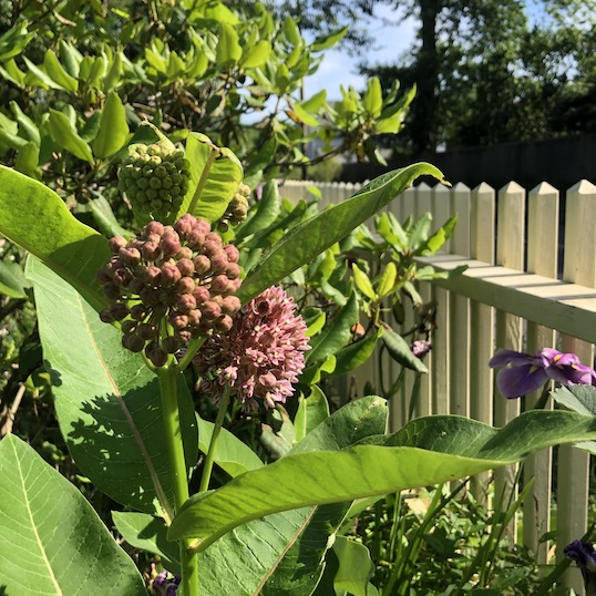
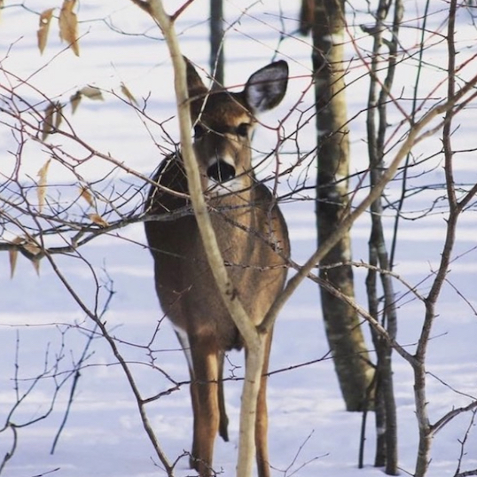
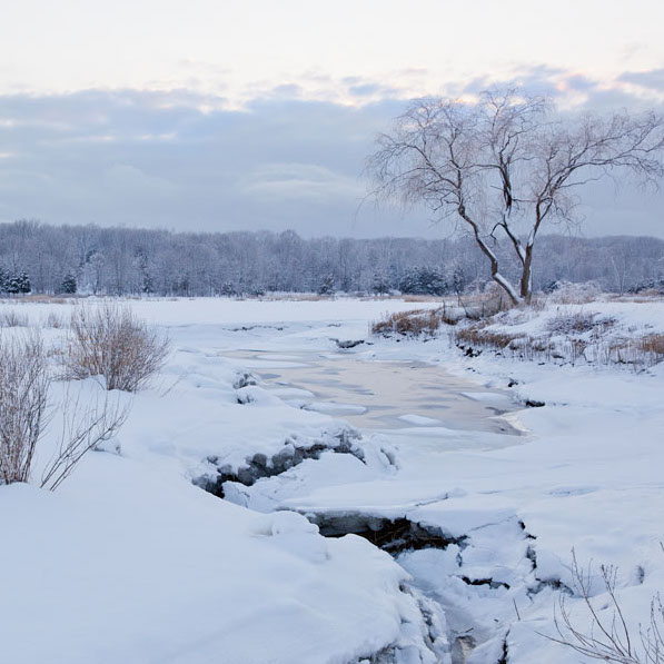
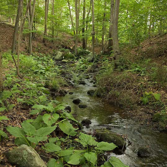
1. Following along a stream bed on your right, cross the stream on a small man-made bridge. After crossing, be sure to turn to the right sharply and continue on the White Trail. Cross through a small grove of mountain laurel, the stream will now be on your right.
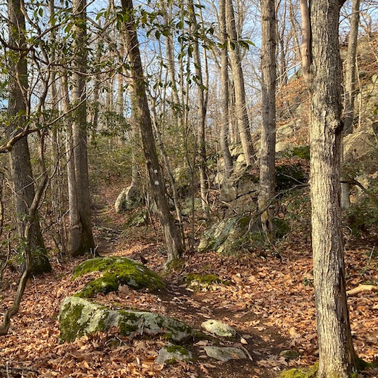
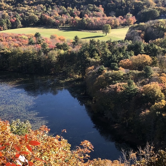
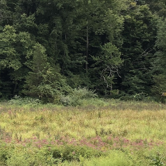
2. Proceed up a gradual hill. Most of the way up the hill, a White alternate cross trail goes off to the left. Stay on the main trail to the right up the hill and continue past some exposed ledge and glacial erratics and, when the leaves are down, enjoy a view of the lake on your right.
3. Where the White Trail meets the rectangular Blue Trail, stay left. The White Trail travels with the Blue-Blazed rectangle trail across a bridge and on for some time until they diverge just before another stream crossing. Stay left on the White Trail.
4. The White Trail continues to bend around left, along the outside of the property. Soon after you see a house to the front right of you, stay left (the trail to the right is an access to the GLCT entrance on Broad Hill Circle) and then stay with the White Trail as it turns right.
5. Follow White Circle until it climbs up, along, and over a large, rugged stone wall (this is the toughest scramble on this hike). Continue for some time, keeping a lookout for White Trail markings showing the trail turning right (if you see Red Trail markings, you missed this turn).
6. Continue, passing the Green trail and another branch of the Red off to the left. Take a bridge across a stream and pass the yellow trail on the left. Just after passing yellow, remain on the White Trail to the left up a long uphill climb.
7. At the top of the ridge, follow the trail along the edge.
8. Continue on the White Trail, when you pass a contemporary house on the right you are nearly back to the Cindy Lane entrance.
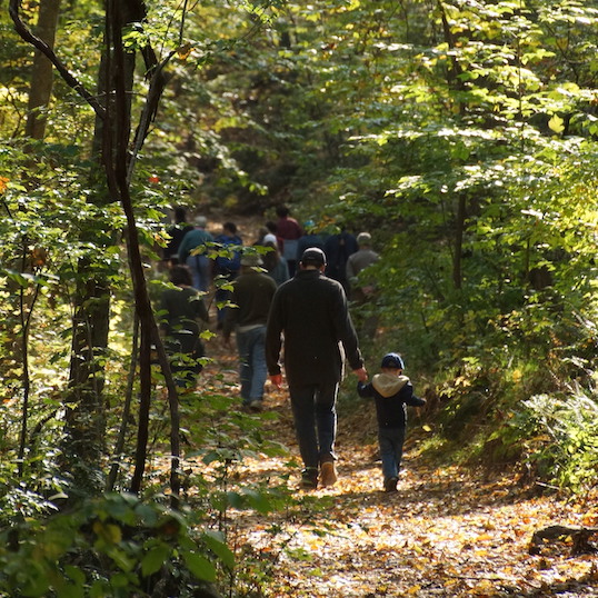
If you enjoy this hike and are interested in more, we invite you to explore some of the interior trails, all of which intersect with the White Trail.