The Bartlett Land Preserve Challenge
Both sections of the Bartlett Land Preserve on Bluff Head/Totoket Mountain can be visited on a long loop hike starting at the parking area at the end of Cook’s Lane just past Whispering Woods Road. This is over a five mile hike and goes up and down the mountain three times, so it’s on the strenuous side for Guilford. Allow 3 hours or more.
*Please note, the green trail from Cooks Lane does not appear on the current Northwoods map. GLCT is in the process of updating the map.
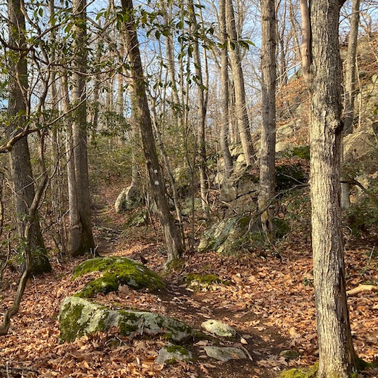
The start of this hike is on a trail marked with light green blazes, starting off on a gravel road beyond the kiosk. The section of the trail on this road is a bit steep. After about a half-mile, the road turns sharply to the left and the trail enters the woods to the right, following what used to be Cooks Lane. When the trail leaves the road, the southern part of the Bartlett Preserve will be on your left for the next half-mile or so. Land GLCT acquired in the 70s and 80s will be to the right. Follow the light green trail up Totoket Mountain until its intersection with the blue-blazed Mattabesset/New England Trail. Turn left (west) following the blue-blazed trail.
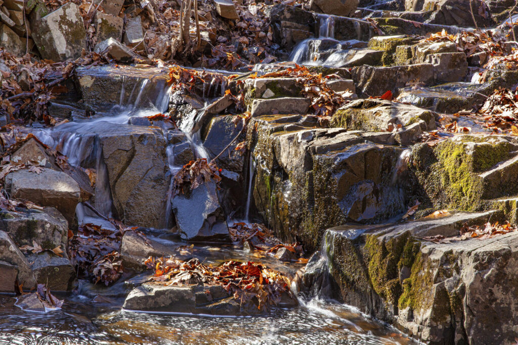
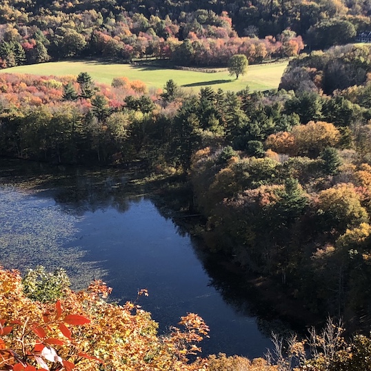
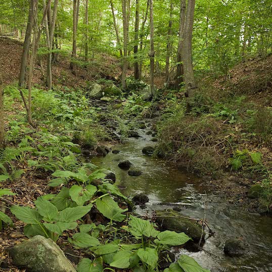
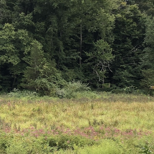
After about a half-mile, the trail will take a sharp right turn. Here you will begin to see survey markers but they are not for land that will be developed. They are the boundaries of GLCT’s purchase. Shortly after the sharp turn, there will be a large wetland area on the left, and a smaller one on the right (both mostly dry in fall). The one on the left is on one of the Bartlett Preserve parcels, and the one on the right is on the other Bartlett Preserve parcel. This spot is also interesting because the wetland area on the right drains north into the Coginchaug River, eventually meeting the Connecticut River in Middletown. The one on the left drains south and west into the Farm River in North Branford. Continue on the blue-blazed trail for about ¾ mile to its intersection with the Lone Pine Trail, marked with a red and blue blaze.
Turn right (north) on the red/blue Lone Pine Trail and follow it past a large stone wall – this is the current town line between Guilford and North Branford. The Lone Pine Trail turns sharp right (east), nearly a U-turn, at the town line between Guilford and Durham. The Lone Pine Trail is on town and GLCT property – the James Valley Preserve – for about another mile before crossing a stream bed with a rather steep ravine. This starts, to the right, the northern section of the Bartlett Preserve. The Lone Pine Trail follows the border between town property (to the left) and the Bartlett Preserve (to the right) for about a half mile. As you climb up, stop and enjoy the view of the large ravine in front of you, now owned by GLCT, and continue with the trail to the left. Continue down the hill, over some bridges across streams and, at the bottom of the ravine, the trail takes a sharp right (almost a U-turn). Continue on the red/blue Lone Pine Trail until you cross another bridge and the Lone Pine Trail diverges to the left.
Stay straight on what is now the blue/white trail. Follow the blue/white trail to the south, again climbing up the mountain. This trail is a bit rocky in spots due to the limited topsoil on this part of the mountain. This blue/white trail will connect to the blue-blazed Mattabesset/NET at the top of the mountain. Turn right (west) until the junction of the light green trail that you used to climb the mountain at the beginning of the hike. Turn left (south) on the light green trail and follow it back to the Cooks Lane trailhead.