Westwoods Cave Loop

Difficulty: A short and moderate hike with rocky climbs and descents.
Distance: 1.25 miles
Duration: 60 minutes
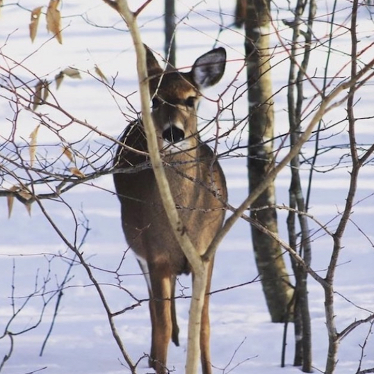
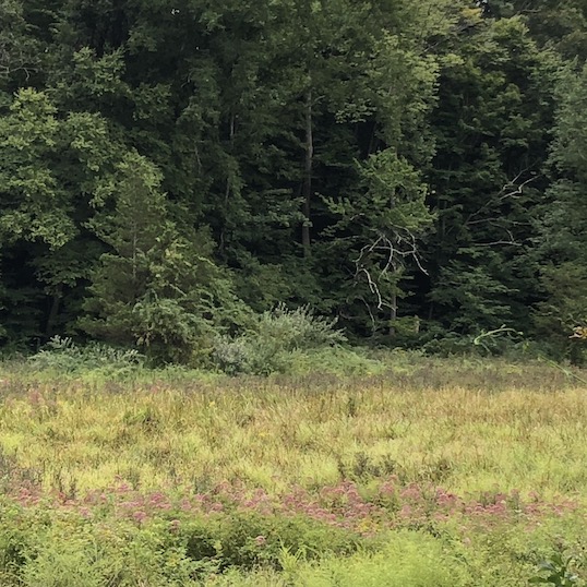
Sights: Thriving Hemlock trees, evidence of quarry activity, a curious cairn and a real cave used by Native Americans
Location: The loop begins at the end of the Three Corners Road cul-de-sac, just to the right of 494 Three Corners Road. Please park your car on the outside of the circle rather than on the grass island.
- Look for the red triangle ▲ on a tree. You’ll be starting off on a long, tree-lined driveway (the house is not in view). Towards the end of the driveway the trail veers off to the right (clearly marked with a wooden Land Trust sign) as the driveway climbs left.
- At the bottom of the hill stay on ▲ and go straight across the intersection of ⬤.
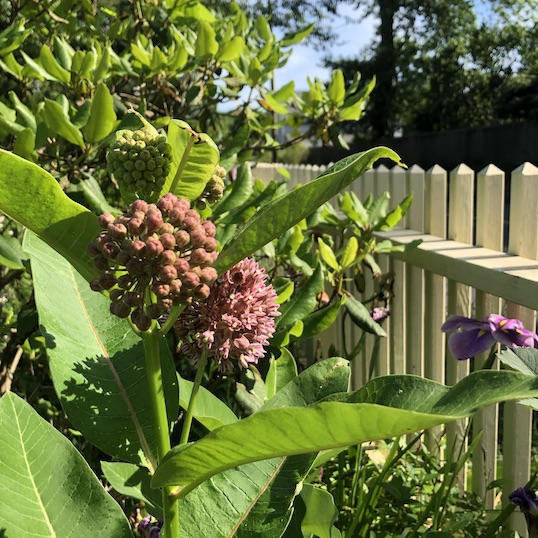
- You will go through a beautiful section of Mountain Laurel, which is native to CT and the state flower. Continue along the ▲. Note the large and flourishing Hemlock trees. These Hemlocks were able to avoid the Woolley Adelgid insect that arrived in Connecticut in 1985, infecting and killing many of our Hemlocks. Perhaps it is because of the wet conditions in the area that these Hemlocks survived.
- You’ll cross under the power lines. Make a right on the Blue Rectangle ▮. You’ll only go a short distance.
- Take your first right onto the Orange Circle trail ⬤. You’ll follow along next to the power lines and then make a right under the power lines.
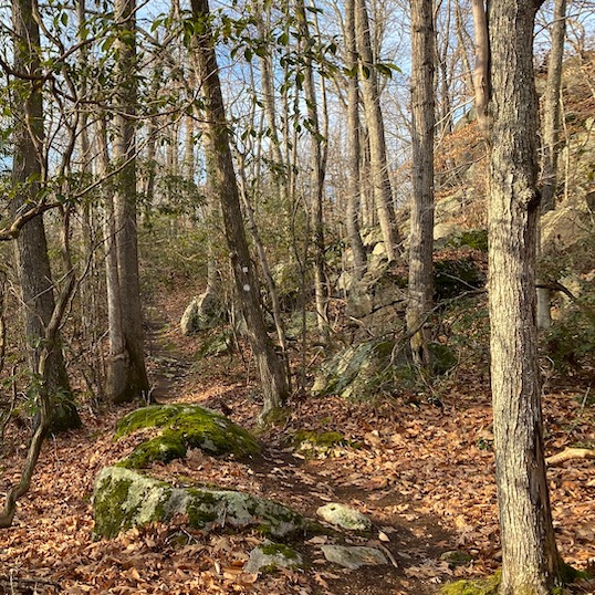
- As you continue along on the ⬤ you’ll see a large, natural cave on your left. Stop and explore. This area has been researched and it is believed to have been a temporary living residence for Native Americans, who came in the summer for shell fishing. You might find broken seashells in the ground near the cave even though you’re miles from the shore. It is likely that they built temporary shelters and leaned them against the wall to provide more protection.
- ⬤ climbs up the rock and makes a right turn immediately at the top.
- After coming down a steep slope (bikers refer to this area as “the cheese grater”) you’ll find another cave on your right. Look carefully because this one isn’t as obvious. It is long and narrow in comparison to the first cave.
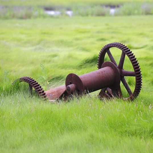
- ⬤ climbs down a cliff. This cliff area was quarried during early Guilford days. If you look closely, you’ll see some unnaturally square rocks. There is also a red X at the top of the cliff and it leads to a gentler descent and you end up at the Trailhead Map
- Take a left on the Red X trail. You’ll go a short distance.
- Take a left on the ▲ which will lead you back to the entrance.
