Westwoods Loop 11 – The Good Sisters
Distance: 1.5 miles
Duration: 45 minutes
Elevation Gain: 152 feet
Difficulty: Easy with some occasional up and down hiking on open trails.
Weather considerations: A few wet spots. Not suitable for trail running.
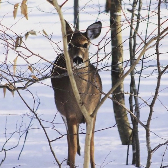
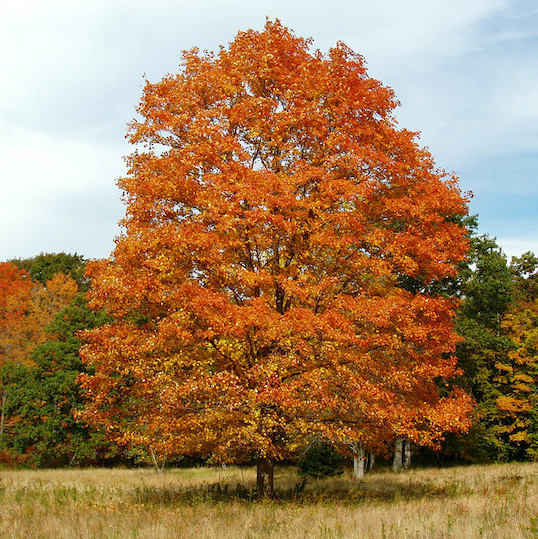
General Description: Loop #11 is an easy woodland hike on the Good Sisters (Pink Circle) trail and the Violet Circle and Blue Rectangle trails. The Good Sisters trail is the newest circle trail created through a Guilford Land Conservation Trust (GLCT) land acquisition. The 36-acre parcel of land was donated to the GLCT by Effie Good after her death in 2004 and is the highest valued bequest ever received by the GLCT at the time. Effie and her sister, Helen Good Bensche, had a long association with the GLCT. The Good sisters sold a 15-acre parcel of land to the GLCT in 1991 which includes the lower Moose Hill Road entrance to Westwoods. The sisters also sold a 26-acre parcel of land to the GLCT in 1998 at less than market value. Thanks to the Good sisters’ foresight and generosity, hikers will benefit and enjoy these woods for generations to come.
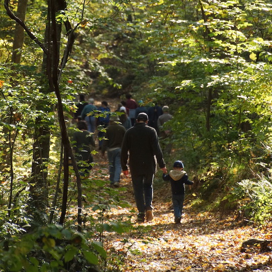
Hiking Narrative: Park your car at lower Moose Hill Road trail entrance, opposite the northern end of Landon’s Way.
- Begin hiking on the Good Sisters Trail (Pink Circle) located on the south corner of the parking lot.
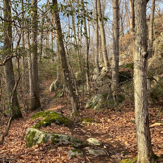
- Continue following the Pink Circle. Note the young hardwood trees in the open forest. This land was used as pastureland by the Good sisters’ grandfather in the 19th century and was clear cut at that time. Note the many large rocks throughout the understory (POI – 1): a Rock Garden sowed by the glacier that covered Guilford 20,000 years ago.
- As you continue on the Pink Circle trail you will see many huge boulders on both sides of the trail. These are large and isolated rocks deposited by the receded ice age glacier. Smaller rocks were removed by the colonial farmers and often were used to build stone walls (POI – 2 & 3). Also notice the clusters of Red Cedar Trees adjacent to the walls and boulders. Red Cedar trees are Native to New England and once quite rare as they were cleared to make pastureland. Surviving trees found refuge in isolated areas and on rocky hill tops. But once the pastureland was abandoned, the Red Cedar trees colonized the fields and flourished in the open sunlight. Now overshadowed by the forest canopy, they struggle to survive.
- The rocky bedrock outcroppings throughout Westwoods create unique vertical habitats that support many plants which can’t flourish in the leaf litter of the forest floor. Ferns, mosses and lichen have all found a home in this ‘Hanging Garden’ (POI – 4).
- Across New England, American beech is a key member of the typical “northern hardwood” forest mix. Before you is an ancient Beech Tree (POI – 5) which has flourished in the deep and moist soils at the base of the cliff you’re standing on. Partially protected by this windbreak, it has grown to a large size. Regrettably, Beech are being threatened by both bark and leaf diseases which may remove this species from our forests entirely.
- This enormous flake of granite has cleaved naturally from the cliff face, creating a large Cutting Board (POI – 6) table for picnic or rest. Natural faults and weaknesses within the granite allow the flat surfaces to form, then penetrating moisture and seasonal freeze/thaw cycles gradually break the rock apart. On a geologic timescale foreign to humans, the earth’s environment slowly disassembles the surface bedrock.
- The Pink Circle ends after you have traveled about .7 miles and you are about halfway around the loop. Make a left on Violet Circle heading north. You will continue on Violet Circle until you reach the Blue Rectangle.
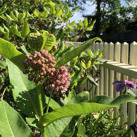
- Before you reach the Blue Rectangle you will encounter two more points of interest on the Violet Circle. Notice the understory of Mountain Laurel, our state flower, in the young forest (POI – 7). Mountain Laurel begins blooming in May in Connecticut.
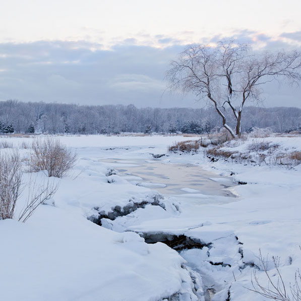
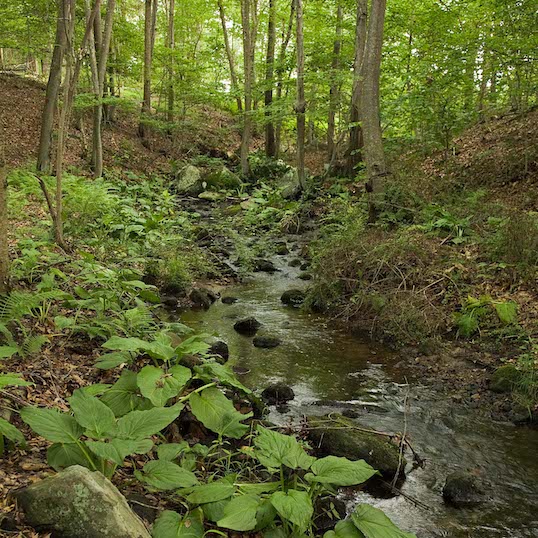
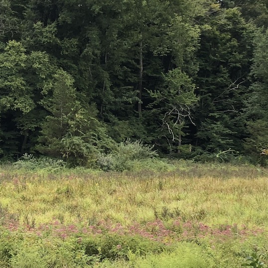
- To your left is an extensive wetland area, created by a depression in the bedrock filled with clays and poorly drained soils. These wetlands, which can become completely dry during the summer and autumn, are another unique environment found in Westwoods. Plants, animals and amphibians found here are often completely absent only a few hundred feet down the trail. One of the earliest signs of spring is the evening chorus of Spring Peepers (POI-8), a small woodland frog that emerges from the mud and leaf litter to call for a mate.
- Take a left on Blue Rectangle as Violet Circle continues straight.
- The Blue Rectangle Trail follows the former path of Dunk Rock Road, a colonial byway that connected Guilford Center to the western lands. The steep and rocky terrain made east/west passage very difficult in Guilford, and this was one of the very few paths available through the 18th and 19th centuries. Note the stone walls on either side of the trail, which become more prominent as you approach the parking area. Whenever you see stone walls parallel to each other like this you are likely on an old road.