Westwoods Loop 7 – Ridges and Valleys
Distance: 2 miles
Allow: Allow an hour
Elevation Gain: 314 feet
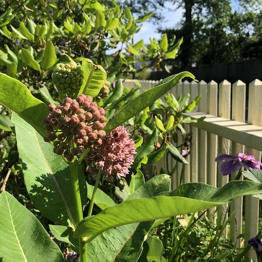
General Description: Reversing the effects of too much screen time, Loop 7 meanders through ridges and valleys in Westwoods. It’s the perfect antidote to modern life.
Difficulty: A fairly easy hike with a somewhat narrow boardwalk.
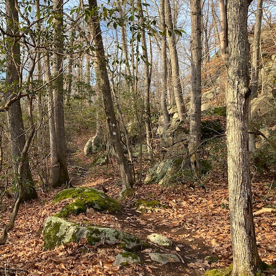
Terrain: Mostly civilized woods roads with some rocky but moderate climbs, and plank
walk in low, swampy area. Not suitable for trail running.
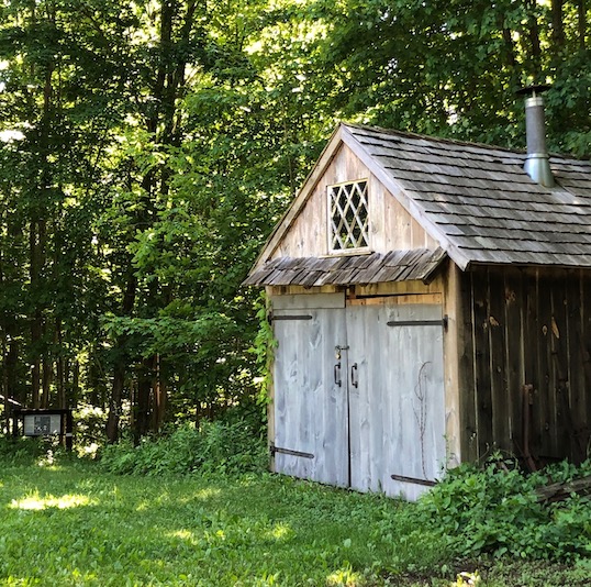
Hiking Narrative: The loop begins at the Upper Dunk Rock Road trail entrance. Park at the parking area adjacent to Bishop’s Raspberry fields and walk up the road to the cul-de-sac to begin your hike on the Blue Rectangle trail.
- At about 600 feet turn left on Yellow Triangle trail. Yellow Triangle becomes a loop trail. You’ll see the Red Rectangle shares the path for a short distance.
- POI 1: On your left you’ll notice an intriguing configuration of rocks architecturally stacked known as a Cairn.
- Immediately south of the former power line corridor the Yellow Triangle goes both left and right. Stay to your left.
- Blue Circle merges with Yellow Triangle for a very short distance then branches to right. Stay on Yellow Triangle trail.
- POI 2: At the base of the Yellow Triangle trail and with a keen eye you’ll notice some of the stones surrounding you are different from the rest, with sharp edges, evidence of drilling and blasting, and oddly perched on the ground. We aren’t sure where these quarried rocks came from or how they got here but they add an interesting contrast to the forest.
- Blue Circle joins the Yellow Triangle for about 600 ft then heads off to your right. Stay on Yellow Triangle trail.
- POI 3: How does nature create an Open Understory like the one you see here? Guilford has a diverse bedrock, and here the granite is close to the surface with thin or no soil. Rain runs off the surface making the area unsuitable for plant life. The ridge-line wind exposure keeps trees from growing tall, if at all. The few trees that survive here date back to the early 20th century. Be sure to take in the views from the crest.
- Continue on Yellow Triangle trail. Look carefully for the Red Rectangle trail blazes. These markers are hard to locate at this intersection because there are no large trees available to post the red diamond symbols. Once found, take a left onto Red Rectangle trail.
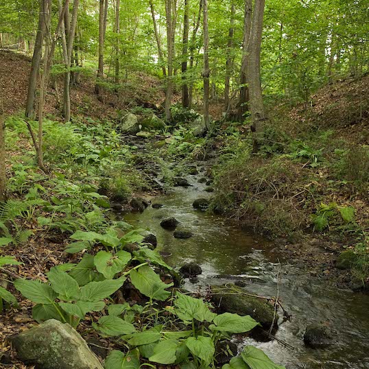
- Red Rectangle drops into a typical Westwoods swamp, crossed over a wooden plank-walk. If you look carefully, you can see remnants of the early log crossings, now decayed and covered in moss.
- POI 4: As you climb up the hill and make the left look for the Stone Sandwich rock formation.
- The Red Rectangle intersects with Green Circle and the two trails join for about 150 feet. Where the trails diverge, turn left on Red Rectangle trail.
- The Red Rectangle climbs a hill and follows along the shoulder of a ridge.
- The Red Rectangle ends when it meets with the Orange Circle trail. Take a right onto the Orange Circle.
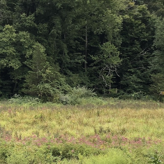
- POI 5: You will cross a section that is suspiciously lacking the typical trees in the area. Until 2022 the electric power lines to Guilford ran along this corridor. The Westwoods trails committee has maintained portions of this clearing that was once kept clear by the power company for over 100 years. During this time a new ecosystem developed, attracting birds, animals and plants that live in woodland and field transitional zones. The Land Trust is committed to maintaining this as a welcome space for the species that call this area home.
- After crossing under the power lines, bear right onto the Orange Square trail.
- In about 300 feet, take a right onto the Blue Rectangle trail.
- Follow Blue Rectangle trail to the upper trail entrance and then to the Dunk Rock Road parking.