Westwoods Loop 6 – The Nature Trail
General Description: Ever wonder what Witch Hazel looks like? Can you tell the difference between a white pine and tupelo tree? The Westwoods Nature Trail was designed to introduce you to the forest by providing 40 points of interest, known as stations, that will answer those questions for you and so much more. To experience the trail as it was designed, we recommend picking up a copy of the Nature Trail Guide available at Breakwater Books on the Guilford Green. The Nature Trail Guide is chock full of forest facts and is delightfully illustrated by local artist Elaine Matthias, Bernard Kane, Susan Kukle and Nicole Crane.
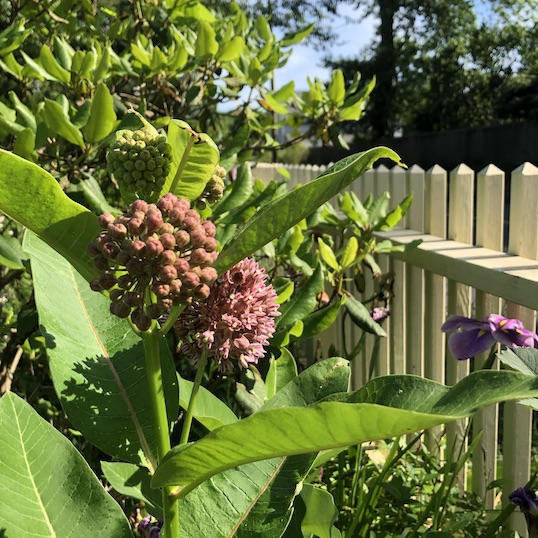
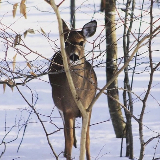
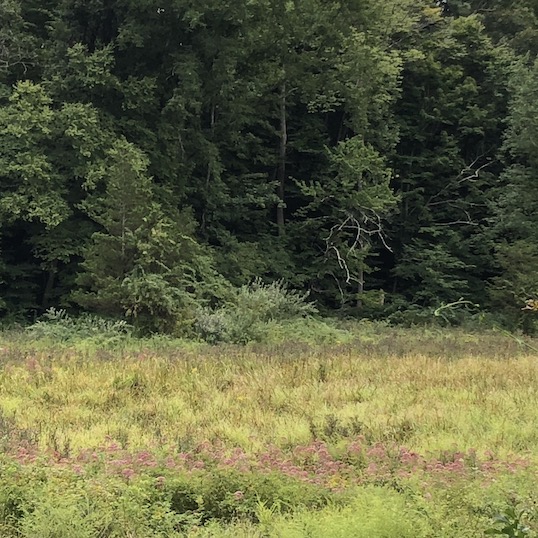
Sights: Old stone walls, a colonial road, remnants of the Great Hemlock tree and a glacial kettle. The recommended Westwoods Nature Trail Guide lists many more features with interesting facts and details.
Difficulty: A very easy hike.
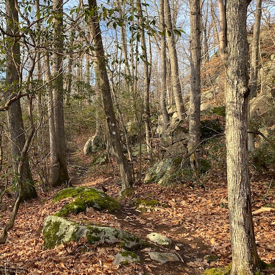
Terrain: Combination of old wood roads and path, can get swampy in lower areas. Not suitable for trail running. Bikes are not allowed on dedicated sections of the trail.
Duration: 45-60 minutes
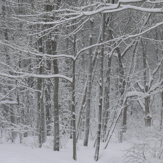
Weather considerations: Lower areas often have wet conditions.
Distance: 2.03 miles
Hiking Narrative: The loop begins at the Lower Dunk Rock Road trail entrance. Park at the parking area adjacent to Bishop’s Raspberry fields.
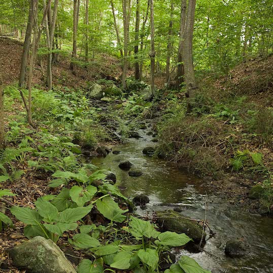
- The entire trail is marked with Green Triangles, some of them numbered to reference the Nature Trail Guide. Begin on the right side of the parking lot at the kiosk and follow along a creek that feeds Bishop’s Pond.
- Green Rectangle joins with Green Triangle for a short walk. Stay left on Green Triangle as Green Rectangle goes right.
- You will encounter the commemorative stone engraving dedicated to Westwoods Trail pioneer Bernard Kane. The Westwoods Trails Committee recently cleaned the stone to allow the engraving to emerge.
- Green Rectangle will again join you on the Green Triangle at an old colonial road known as Old Marsh Road. Note the stone walls following along the road.
- At station #14, the Green Circle trail crosses the Green Triangle trail. At this point you’ve hiked 1/5 mile. You can take a left onto the Green Triangle, but if you want to see Station 15, stay straight on the road on the Green Rectangle for about 200 feet. Station 15 is marked on a log under a bridge that takes you across the Civilian Conservation Corps Pond that was intended for use in the event of a forest fire. Retrace your steps back to the Green Triangle and take a right.
- Green Triangle follows along the bottom of the ridge in the valley.
- Green Triangle crosses a bridge.
- At station #20 you will cross another bridge.
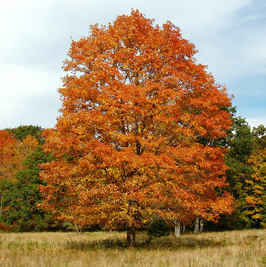
- At station #21 (number is located on a big rock) you’ll see the remains of the Great Hemlock tree up on your left. It had a diameter of 46 inches and was over 125 feet tall before it succumbed to the Woolly Adelgid bug in the 1990’s. The ridge provided a protected environment for the Hemlock. Perhaps another Great Hemlock will emerge in the future.
- After station #25, Green Triangle merges with Blue Rectangle trail and both trails turn left. There is still a fair amount of trail left. If you need to leave the trail, stay on the Blue Rectangle, which is the colonial Dunk Rock Road, and it will bring you back to the parking lot.
- Otherwise, at the top of the hill the Green Triangle turns left.
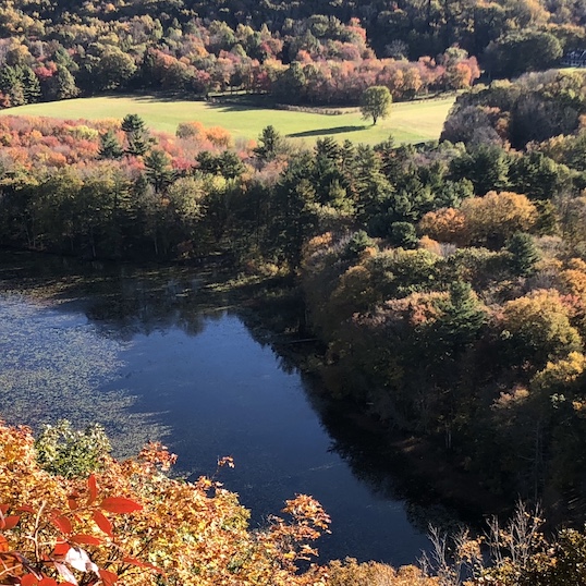
- Green Triangle continues straight along the top of the ridge. Note that there are optional small hiking loops on your left that bring you very close to the edge of the ridge. Please USE CAUTION on these hiking loops. There is no guard rail.
- Green Triangle makes a U-turn curving to your right.
- Note a depression in the ground to your left at station #37. This is a glacial kettle formed when a large block of glacial ice melted.
- Green Triangle joins the Blue Rectangle trail and they both turn left.
- Walk down the hill on Dunk Rock Road to the lower parking lot where the trail ends at the opposite end of the parking lot from where it started.