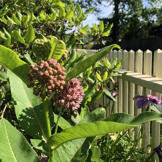
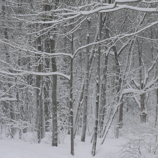
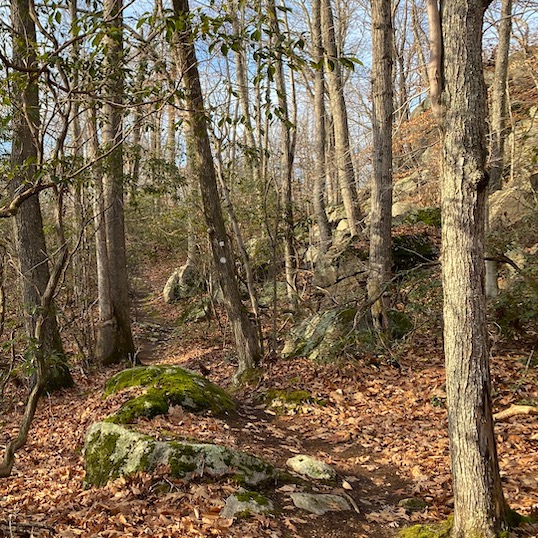
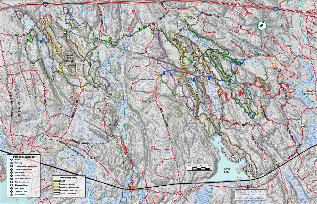
Westwoods Trail Descriptions

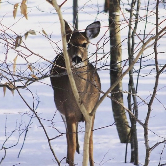
The Green Triangle is a 1.8 mile long trail that is also called the Nature Trail that consists of two loops, one inside of the other. The walking is easy and the trail is well marked. The trail starts at the 1st Dunk Rock Road entrance, and ends at the 2nd Dunk Rock Road entrance. Be careful on the inner loop of the Nature trail. Beware, sections of this trail run close to the edge of a cliff.

The Blue Circle is approximately 1 mile long, and is easy walking. The trail starts at the 1st Dunk Rock Road trail entrance, and ends when it turns into the Green Circle trail.

The Green Circle trail is almost two miles long, and is a little harder walking than the Blue Circle. The trail runs North to South, and about a fourth of a mile south of the Peddlers Road entrance it joins with the White Circle. The trail ends when it turns into the Blue Circle after doing many zig-zags.

The Red Diamond trail runs East to West, it is a challenging trail in some places with steep climbs. One trail head is at the end of a private driveway on Three Mile Course. Approximately one mile and a half later, the other end runs into the Orange Circle Trail. This trail crosses many other trails and for a little while travels with some of the trails that run North to South. Follow the blazes carefully.

The Red Square trail is a large circle with a branch coming off to enter and exit the trail. The trail starts as a branch off of the Blue Circle trail at a small stream. The almost one mile hike is easy and well marked, but there are many cross trails made by bikers or deer that are not marked. These trails can be confusing at times, but just remember that the trail is marked about every fifty feet. If you don’t see another trail marker in this time you should head back to where you saw the last one.

The Yellow Triangle trail is a well marked trail with easy walking. About one fourth of a mile after the trail starts it splits into two different paths (just after the power lines). Both trails are still the Yellow Triangle, and are both about the same difficulty of walking. The trail is about three fourths of a mile long, and starts at the Blue Rectangle. Both of the trails end on the Blue Circle, but in different places.

The one fourth of a mile long Green Square trail runs parallel to the Green Circle, and like the Green Circle is relatively easy walking. This trail branches off from the Green Circle, and runs along the side of a marsh and joins back to the Green Circle later.

Slightly over a mile the Blue Rectangle is a good choice if you have never been hiking before. The trail is wide, and well marked. It runs East to West across the entire Guilford portion of the WestWoods trails. It starts at the 2nd Dunk Rock Road entrance, and ends at the larger of the two Moose Hill Road entrances (the entrance farthest South).

The Green Rectangle like the Blue Rectangle runs East to West, and is relatively easy. This path was used as a road hundreds of years ago. Because of this the trail is wide and close to flat. It runs almost one and a fourth miles long starting at the first Dunk Rock Road entrance and ends at the Northernmost Moose Hill Road entrance.


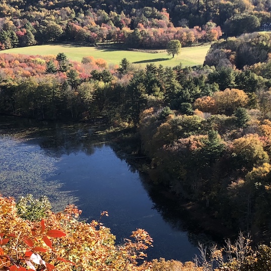
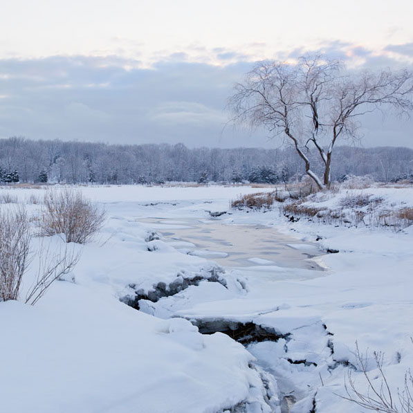
The White Circle is the second longest trail in the Guilford WestWoods, and stops at the very pretty Lost Lake (a good picnic spot). Three of the twelve WestWoods points of interest are located on this trail. The walking is harder than the Green and Blue Circles, but the trail is well marked. The trail runs North to South, as do most of the Circle trails, and starts at the Sam Hill Road entrance and ends at the Peddlers Road entrance. This trail has a very long plank walk that is quite interesting to walk on.

The longest of the trails in the WestWoods is the White Square. It runs along with the White Circle most of the time, but in certain spots branches off for a usually scenic longer route, and then joins back to the White Circle. The White Circle is approximately three and a half miles long and runs along the Lost Lake for almost half a mile. The trail is mostly made up of the White Circle, and is about the same difficulty.

The Orange Circle is about the same difficulty as the White Circle, and is a little over two miles long. The Orange Circle branches off of the White Circle about a third of a mile from the Sam Hill Road entrance, and from then until it joins back with the White Circle a half mile before the Peddlers Road entrance it runs parallel to the trail. There are some steep sections to the trail, but the trail is easy to follow with the good blazes.

The Orange Square, like the White Square, follows the Orange Circle for most of the time, but also branches out to take small detours. Like the Orange Circle the Orange Square is a little over two miles long is is a little hard walking sometimes.

Almost two miles long and the hardest trail in the WestWoods, only experienced, surefooted hikers should use the Yellow Circle. Do not attempt to hike the steep parts of this trail when it is slippery or raining. This trail has strenuous cliff sections and can be dangerous. It is well marked in most places. The trail branches off from the Orange Circle approximately three fourths of a mile after the Orange Circle begins. The trail ends at the White circle just before the plank walk.

The Yellow Square is about the same distance as the Yellow Circle, and like the White square is a small trail following a larger one of the same color branching off at different locations. The difficulty level is about the same as the Yellow Circle, and since it too climbs steep areas we advise you to be careful.

The Violet Circle is about one and a half miles long and slightly more challenging than the Blue and Green Circles. The trail is marked well, and there aren’t many steep areas. The Violet Circle runs North to South, and starts about a half mile from where the Yellow Circle started. The trail travels one and a half miles further and ends only a few hundred feet before the Moose Hill Road entrance on the Green Rectangle.

The Red Triangle travels North to South and East to West. The trail starts at the Three Corners Road entrance, and travels North to South for approximately three fourths of a mile until it joins with the Blue Rectangle and turns 90 degrees and heads East to West. The Red Triangle will separate from the Blue Rectangle and travel parallel to the power lines until the end when it travels underneath the power lines. The trail ends on Moose Hill Road at the entrance without parking.